Environmental monitoring facilities
Type of resources
Available actions
IADC Research Activities
Topics
Keywords
Contact for the resource
Provided by
Years
Formats
Representation types
Update frequencies
status
Scale
-
Snow water equivalent at the Gruvebadet Snow Resarch Site
-
Chronobiology of polar organisms (Chronopolar) Monitoring water parameters in surface and deep (3.0 meters) using DS18B20 + rasberry-pi. Sample collection: Lepidurus arcticus.
-
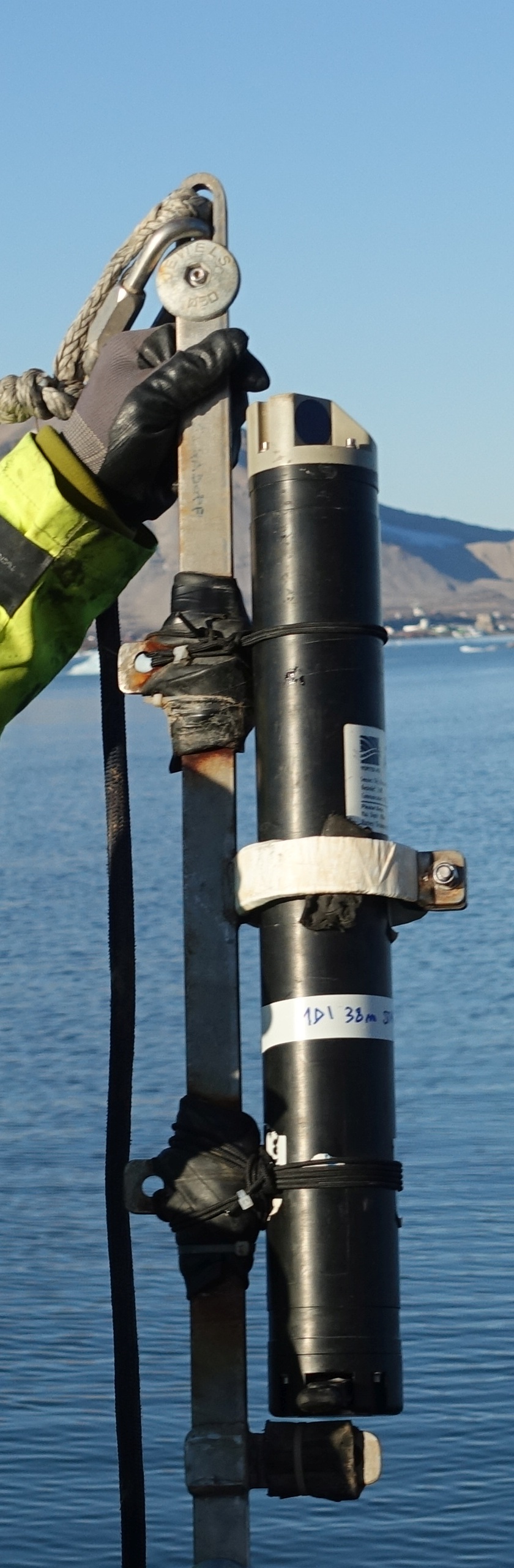
This dataset comprises measurements from a moored single-point acoustic current meter, collected by the Mooring Dirigibile Italia (MDI), which is managed by the Institute of Polar Sciences of the National Research Council (CNR). The data was gathered at Kongsfjorden, Svalbard Island, since 10 September 2010. This dataset is also part of the SIOS-Svalbard Integrated Arctic Earth Observing System, developed to observe the impacts of climate change, including the rapid loss of sea ice cover, the retreat of local glaciers, and the Atlantification of Arctic seas. Measured properties are: subsurface temperature and subsurface currents. The acquisition of this time series data is still ongoing and will continue, bolstered by the inclusion of this infrastructure within the framework of the Italian PNRR project ITINERIS. This ensures sustained data collection and further enhances our understanding of the observed environmental changes.
-
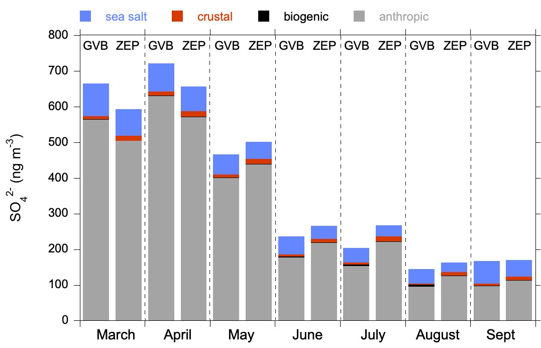
Sulphate contributions to PM10 aerosol sampled at Gruvebadet Observatory (Ny-Ålesund)
-

Time series of marine particles fluxes and its compositions (Time and spatial scale: 15-90 days, fixed depth 83 m, 17 m above bottom). Flux of total mass, TMF, (g m-2 day-1) - Organic Carbon, OC, (per cent) - Calcium carbonate,CaCO3, (per cent) - Biogenic silica, Opal, (per cent) - Lithogenic material, Litho, (per cent) - Delta 13C, d13C, (per mil)
-
Terrestrial Photography ApplicationS on Snow covEr in Svalbard (PASSES) Project start: 2018-04-15 - end: 2021-12-31 The purpose of this activity is the development of a new snow product focused on the estimation of the fraction of snow cover in selected sites at different spatial resolutions. This dataset will be aimed to support the estimation of cryospheric information using remotely sensed data, with a particular attention to data obtained in the framework of the Copernicus program. The availability of this dataset in a natural laboratory such as Svalbard islands will support the reduction of the gap between remotely sensed data and modeling activities. This added value will be very important considering the higher spatial resolution of the sensors recently deployed. The dataset will be based on re-using data obtained from public repositories such as the digital elevation model of Svalbard, the available webcam imageries in Svalbard and satellite products from Landsat, Sentinel and MODIS missions. All the available data will be integrated in order to estimate the fraction of snow cover, at different spatial resolutions, for each satellite mission. These estimations, computed at different sites in Svalbard islands, will offer the opportunity to better integrate results obtained by remote sensing with modeling and air-snow interactions studies. Particular attention will be devoted to the formalization of agreements with raw-data providers in case of not-public licensing policies.
-
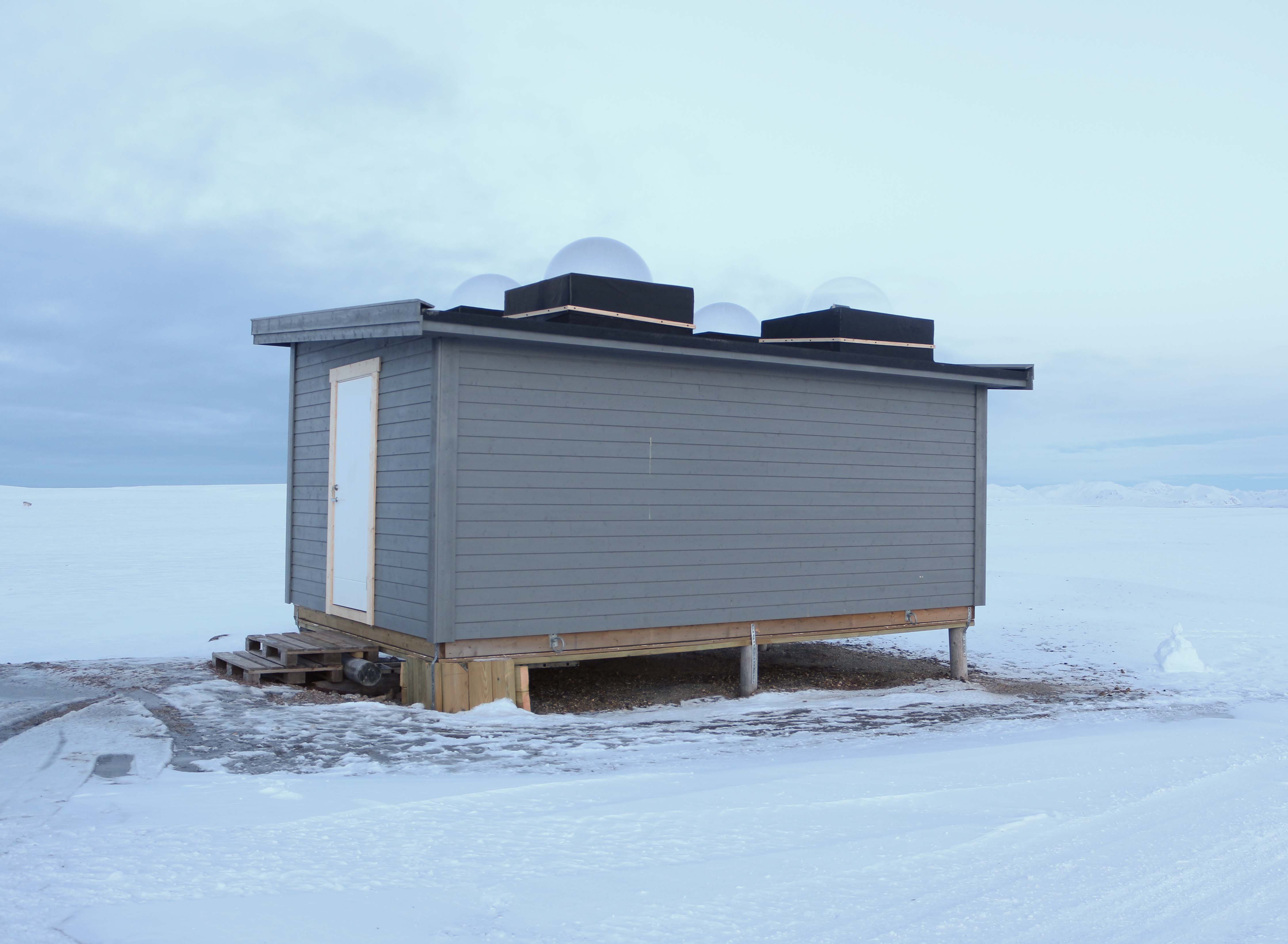
High-Latitude Aurora Activity Monitor by means of an automatised digital camera, recording all-sky images in the 630.0 nm (red), 557.7 nm (green) and 427.8 nm (blue) wavelengths. The camera is operated by INAF (Italian National Institute of Astrophysics) and contributes to the international network MIRACLE (https://space.fmi.fi/MIRACLE/), with instruments distributed along the Scandinavia and the Svalbard. The camera started operating in November 1999, when it was located on the roof of the French building (Lat = 78° 55' 20" N, Lon = 11° 56' 02" E). In November 2015 the instrument was moved to the Sensitive Lights Cabin (Lat = 78° 56' 28.2" N, Lon = 11° 50' 31.7" E, Elev. = 28 m). The Instrument was then updated in 2017 with a new cooled CMOS camera, which replaced the old CCD camera + image intensifier.
-

Continuous Vis-Near IR Characterization of snow-ice surface in Ny-Ålesund (SnowIceCReM) The activity foreseen for 2015-2020 includes: continuous full-range reflectance measurements; continuous multispectral observations; ground-truth survey on snow surfaces. The first part of the activity is attempted to replicate the experiment carried out in 2014 where a VNIR spectroradiometer were deployed at the CCT. Hardware upgrades will be coupled with the addition of some position and optical reference targets. An hemispheric webcam will acquire high resolution sky and ground images to support the experiment in terms of cloud and snow cover/roughness characterization, and to provide a quality check of the rotating support position by means of the above mentioned specific targets. The availability of such accessory information will help on selecting a homogeneous spectral albedo dataset. The same quality check approach will be used also for the deployment of a second instrument that will be developed in order to obtain fixed band albedo at 860, 1240 and 1640 nm. Both measurements will be hemispheric, in the 350-2500nm wavelength range. While the first set up obtains asynchronous spectral albedo, the second one provides synchronous spectral albedo on bands selected considering sensors deployed on satellites. The final task will be persecuted with a ground-truth survey focused on calibrating the two different hemispherical receivers with bidirectional observations.
-
Snow sampling every week near Gruvebadet (Svalbard)
-
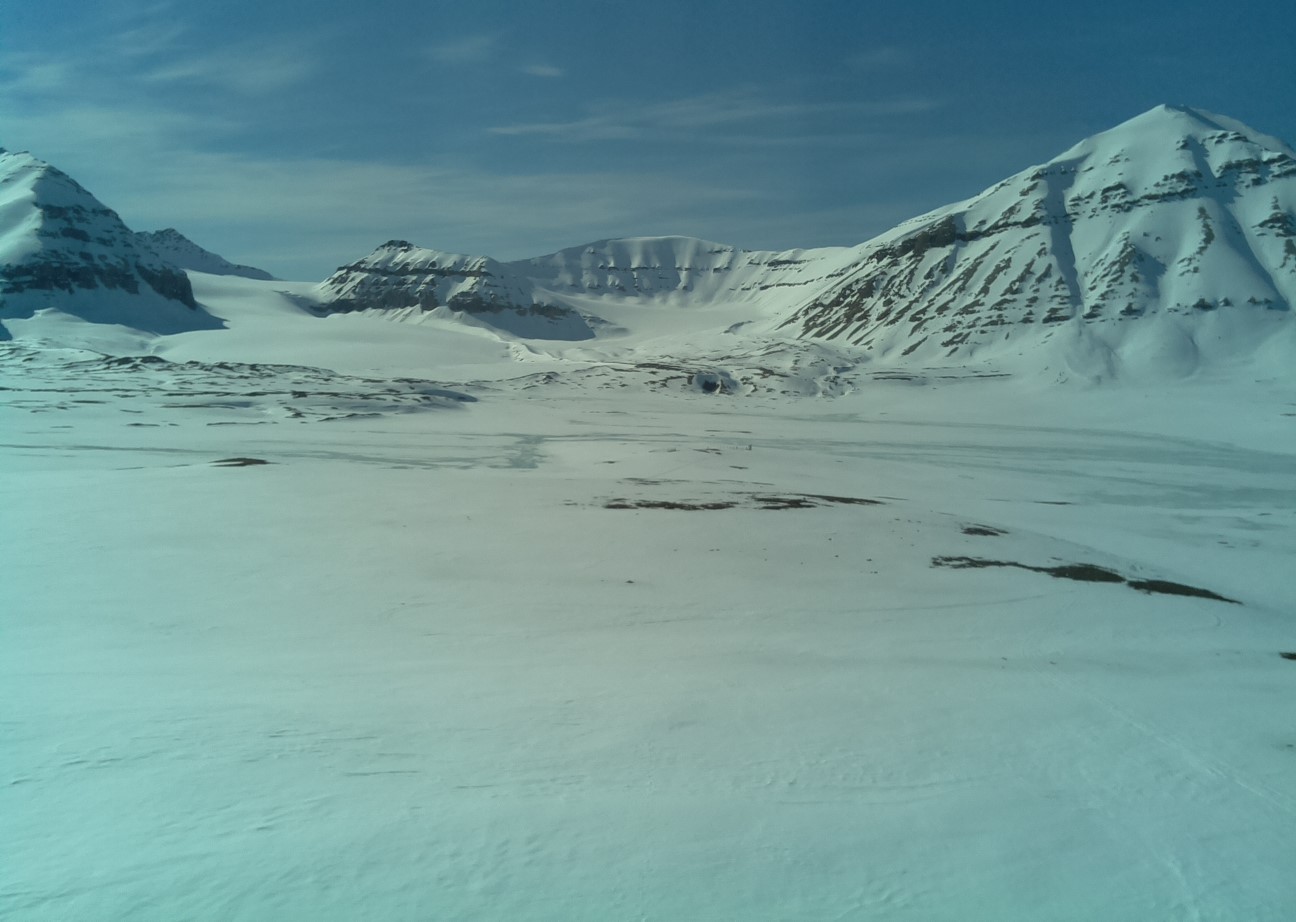
Snow sampling every year at the Kongsvegen glacier, in Svalbard