ASCII
Type of resources
Available actions
IADC Research Activities
Topics
Keywords
Contact for the resource
Provided by
Years
Formats
Representation types
Update frequencies
status
Scale
-

Permafrost Release Into The Marine System In A Warming Arctic (PRIMA) Data about Physical and chemical oceanography and vertical fluxes of sedimentary material from Mooring Aldo Pontremoli (MAP) and geochemical biomarker data from sediment core. Instrument: SBE56, SBE37, Sediment trap Technicap PPS 4/3, GC-MS
-
Brief narrative summary of the content of the resource(s)
-

RIS: 11028 Spatial Distributions of Black Carbon and Mineral Dust in Air and Snow Surface Layers upon Svalbard Glaciers (BC-3D) Project Start: 2018-03-01 End: 2020-06-30 The scientific goals of BC-3D are to evaluate the distribution of Black Carbon and Mineral Dust in the first layers of atmosphere and surface snow over targeted Svalbard glaciers in order to identify the mechanisms of the air/snow exchanges also assisted by model predictions to provide the full 3D picture. Aerosol vertical profiles gridded at a 50 m spatial resolution: R, T, P, RH, Aerosol size distribution, BC concentration. Maximum altitudes 1500 m.
-
Brief narrative summary of the content of the resource(s)
-

Continuous Vis-Near IR Characterization of snow-ice surface in Ny-Ålesund (SnowIceCReM) The activity foreseen for 2015-2020 includes: continuous full-range reflectance measurements; continuous multispectral observations; ground-truth survey on snow surfaces. The first part of the activity is attempted to replicate the experiment carried out in 2014 where a VNIR spectroradiometer were deployed at the CCT. Hardware upgrades will be coupled with the addition of some position and optical reference targets. An hemispheric webcam will acquire high resolution sky and ground images to support the experiment in terms of cloud and snow cover/roughness characterization, and to provide a quality check of the rotating support position by means of the above mentioned specific targets. The availability of such accessory information will help on selecting a homogeneous spectral albedo dataset. The same quality check approach will be used also for the deployment of a second instrument that will be developed in order to obtain fixed band albedo at 860, 1240 and 1640 nm. Both measurements will be hemispheric, in the 350-2500nm wavelength range. While the first set up obtains asynchronous spectral albedo, the second one provides synchronous spectral albedo on bands selected considering sensors deployed on satellites. The final task will be persecuted with a ground-truth survey focused on calibrating the two different hemispherical receivers with bidirectional observations.
-

Spatial variability: validation dataset on pops concentrations in snow (SVAL-POPS) We aim to measure the spatial variability of chosen persistent organic pollutants levels in the snow. The samples will represent three spatial scales: 2-5 m spacing, 0.5-1 km distance, and two sites across Svalbard: Ny Ålesund and Hornsund. These will be compared thanks to a laboratory crosscheck.
-
Isotopic characterisation of arcic ponds Sampling of ponds and surrouding terrestrial envionrment. matter (expressed as ash fry dry matter) and N content as a percentage in soil and lake sediment.
-

Chronobiology of polar organisms (Chronopolar) Monitoring water parameters in surface and deep (3.0 meters) using DS18B20 + rasberry-pi. Sample collection: Lepidurus arcticus.
-

The column water vapor or Precipitable Water Vapor (PWV) is measured at Thule Air Base (76.5°N, 68.8°W), Greenland, by means of a ground-based millimeter-wave spectrometer (GBMS) installed at 220 m a.s.l. The GBMS observes rotational lines of atmospheric molecules emitting between 230 and 280 GHz, with a spectral pass band of 600 MHz. The PWV is calculated from direct measurements of atmospheric opacity (tau) at the indicated frequencies by using the linear relation PWV = a+tau*b, where a and b depend only on frequency. Measurements have a temporal resolution of 15 minutes and are carried out continuously when the GBMS is operated.
-
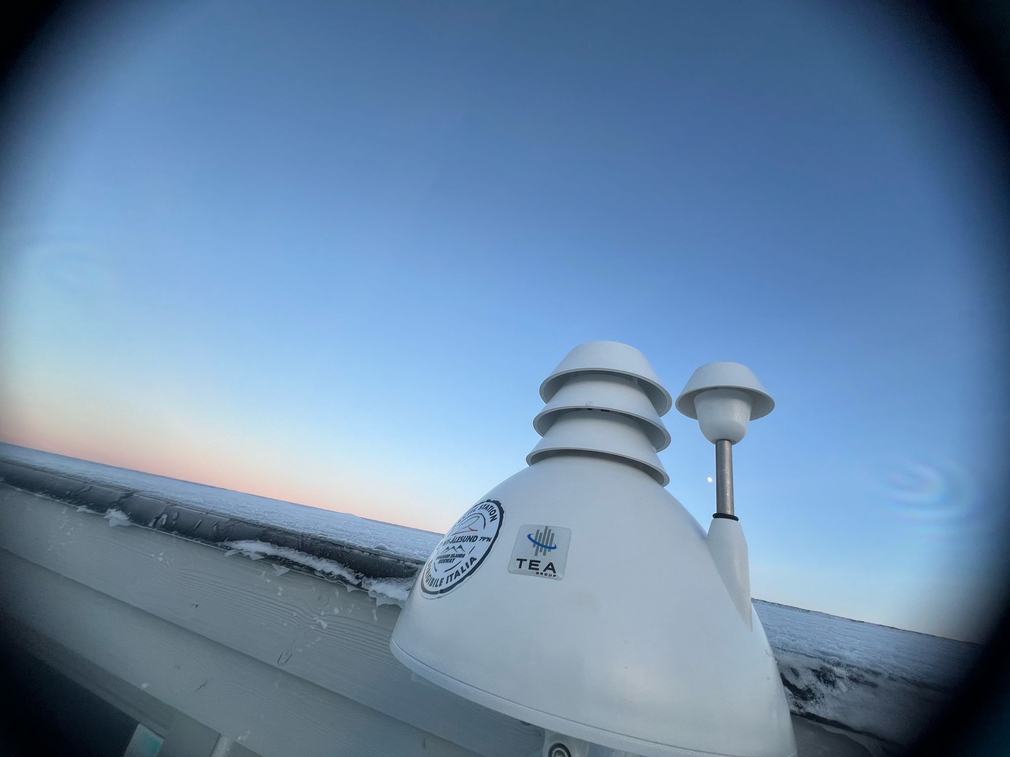
The AUXMON (AUXiliary MONitoring) project aims at providing a continuous monitoring of auxiliary variables useful to support investigation of Arctic atmospheric composition, temperature, humidity. A small network of 4 AIRQino station is the core infrastructure of the project. Three of these stations are positioned outdoors, one (station id 266) is placed inside the italian base. Specifically, the AIRQino stations are low-cost sensors providing information about the concentration of CO2, gaseous pollutants, particulate matter, air temperature and relative humidity.