All-Sky Camera Aurora Observatory
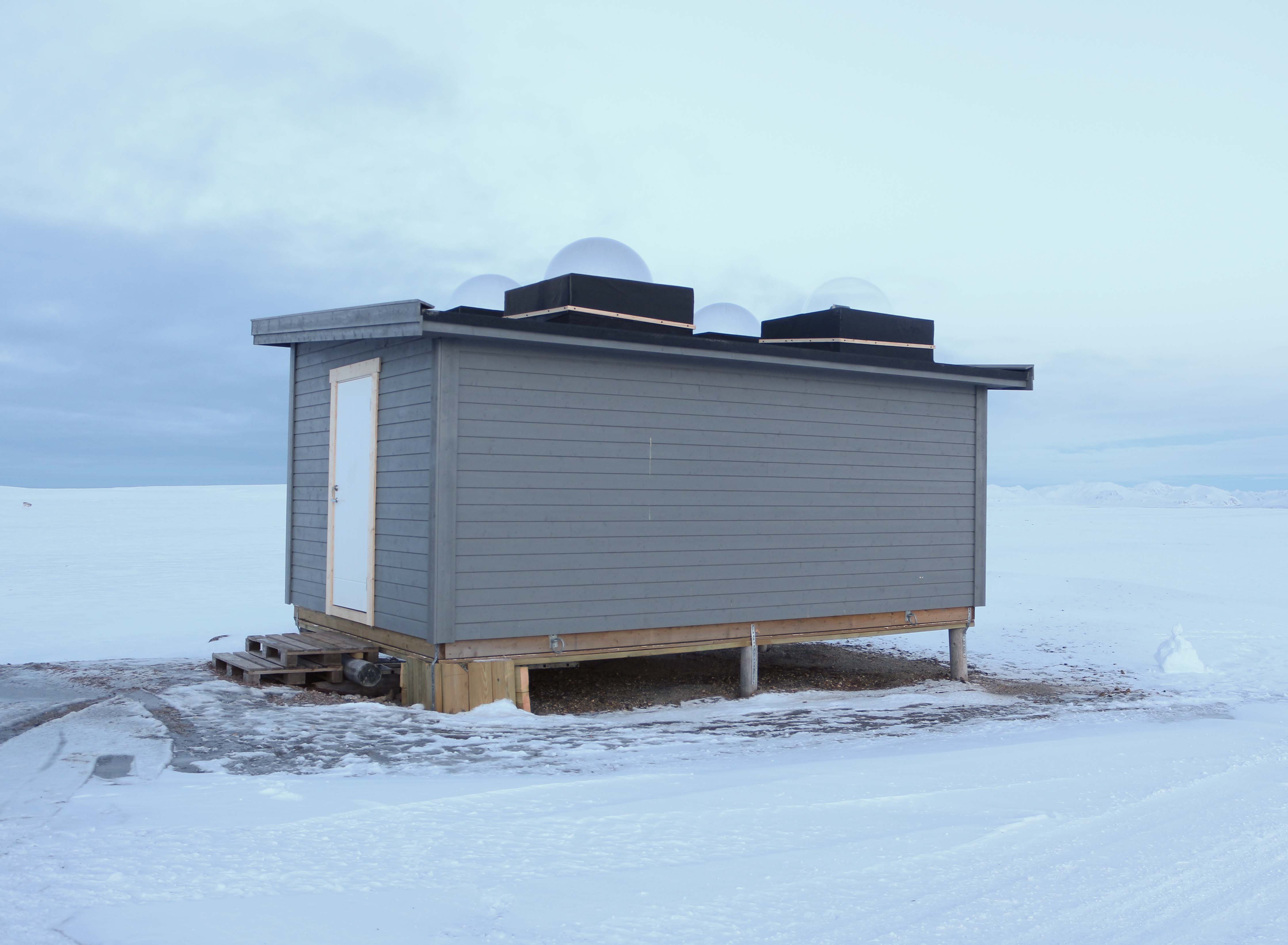
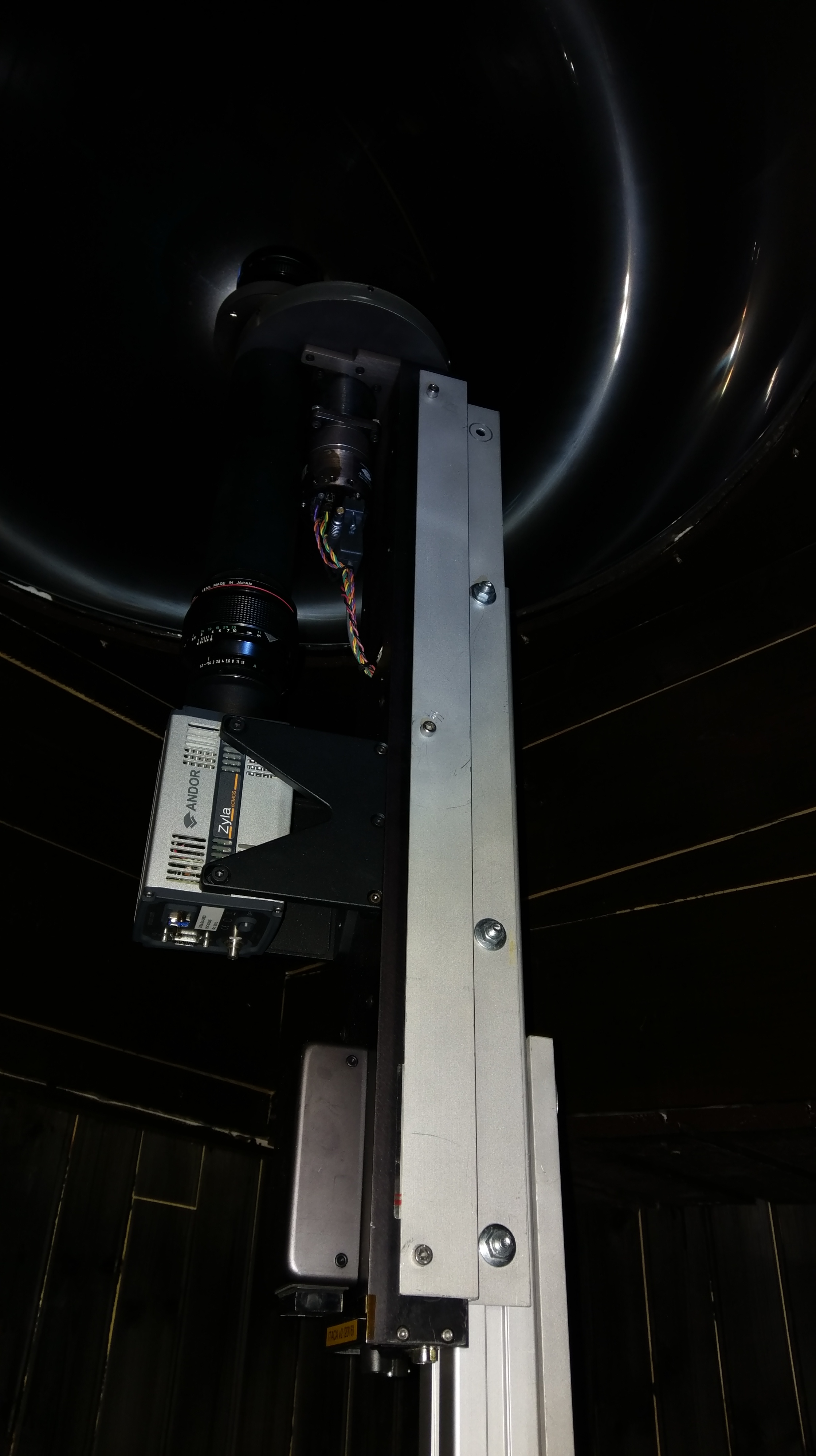
High-Latitude Aurora Activity Monitor by means of an automatised digital camera, recording all-sky images in the 630.0 nm (red), 557.7 nm (green) and 427.8 nm (blue) wavelengths. The camera is operated by INAF (Italian National Institute of Astrophysics) and contributes to the international network MIRACLE ( https://space.fmi.fi/MIRACLE/ ), with instruments distributed along the Scandinavia and the Svalbard. The camera started operating in November 1999, when it was located on the roof of the French building (Lat = 78° 55' 20" N, Lon = 11° 56' 02" E). In November 2015 the instrument was moved to the Sensitive Lights Cabin (Lat = 78° 56' 28.2" N, Lon = 11° 50' 31.7" E, Elev. = 28 m). The Instrument was then updated in 2017 with a new cooled CMOS camera, which replaced the old CCD camera + image intensifier.
Simple
- Date (Creation)
- 2021-10-11T00:00:00
- Identifier
- https://metadata.iadc.cnr.it/geonetwork/srv/api/records/ca67b7bb-5c2b-4cd6-8225-dd339021c937
- Purpose
-
Space Physics
- Status
- On going
- Maintenance and update frequency
- As needed
-
IADC Research Activities
-
-
Chemistry and physics of the atmosphere
-
-
GEMET - INSPIRE themes, version 1.0
-
-
Environmental monitoring facilities
-
-
GCMD - Science Keywords
-
-
SOLAR ACTIVITY
-
SPACE WEATHER ADVISORIES
-
SUN-EARTH INTERACTIONS
-
-
GCMD - Instruments
-
-
AIRGLOW/AURORA IMAGER
-
-
GCMD - Locations
-
-
SVALBARD AND JAN MAYEN
-
-
GCMD - Providers
-
-
ITALY
-
- Keywords
-
- Use limitation
- Creative-Commons CC BY-NC-SA 4.0
- Spatial representation type
- Text, table
- Denominator
- 1
- Metadata language
- English
))
- Begin date
- 1999-01-01
- End date
- 2030-01-01 Now
- Unique resource identifier
- WGS84
- Distribution format
-
-
JPG, PNG
(
1
)
-
JPG, PNG
(
1
)
- OnLine resource
- https://metadata.iadc.cnr.it/geonetwork/srv/api/records/ca67b7bb-5c2b-4cd6-8225-dd339021c937 ( WWW:LINK-1.0-http--link )
- Hierarchy level
- Series
Domain consistency
Conformance result
- Date (Publication)
- 2010-12-08
- Explanation
-
This data set is conformant with the INSPIRE Implementing Rules for the interoperability of spatial data sets and services
- Pass
- Yes
- File identifier
- ca67b7bb-5c2b-4cd6-8225-dd339021c937 XML
- Metadata language
- English
- Character set
- UTF8
- Date stamp
- 2025-05-12T14:25:00
- Metadata standard name
-
ISO 19139
- Metadata standard version
-
1.0
Overviews


Spatial extent
))
Provided by
