climatologyMeteorologyAtmosphere
Type of resources
Available actions
IADC Research Activities
Topics
Keywords
Contact for the resource
Provided by
Years
Formats
Representation types
Update frequencies
status
Scale
-

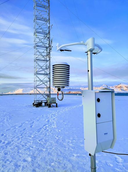
The Climate Change Tower Integrated Project (CCT-IP) represents the guide lines of the italian research in the arctic and aims to study the interaction between all the components of the climate system in the Arctic. The Amundsen-Nobile Climate Change Tower (CCT) is the key infrastructure of the project, and provides continuous acquisition of the atmospheric parameters at different heights as well as at the interface between the surface and the atmosphere. Precipitation data (liquid and solid) are obtained from an optical disdrometer (Vaisala FD70). Partly funded by Arctic PASSION project (agreement number 101003472). Data are available under request.
-

Atmospheric Gondola for Aerosol Profiles (AGAP) The scientific goals of AGAP are to develop novel aerosol payloads and evaluate the vertical distribution of aerosol properties in the Arctic Boundary Layer. Dataset consists in Aerosol vertical profiles gridded at a 50 m spatial resolution: R, T, P, RH, Aerosol size distribution, BC concentration, O3. Maximum altitudes 1500 m.
-

Homogenized Tethered Balloon record at station Ny-Ålesund, Spitsbergen in 2018 The scientific goals of BC-3D are to evaluate the distribution of Black Carbon and Mineral Dust in the first layers of atmosphere and surface snow over targeted Svalbard glaciers in order to identify the mechanisms of the air/snow exchanges also assisted by model predictions to provide the full 3D picture. Aerosol vertical profiles by tethered balloon: Aerosol vertical profiles gridded at a 50 m spatial resolution: R, T, P, RH, Aerosol size distribution, BC concentration. Maximum altitudes 1500 m.
-

Atmospheric Gondola for Aerosol Profiles (AGAP) The scientific goals of AGAP are to develop novel aerosol payloads and evaluate the vertical distribution of aerosol properties in the Arctic Boundary Layer. Dataset consists in Aerosol vertical profiles gridded at a 50 m spatial resolution: R, T, P, RH, Aerosol size distribution, BC concentration, O3. Maximum altitudes 1500 m.
-

Monitoring of Aerosol: Short and Long range source areas related to Climate Change (MAShLoCC) During the Arctic campaign 2010, an atmospheric aerosol sampling at the Gruvebadet observatory has been carried out in order to obtain information about the formation and composition of atmospheric aerosol, transport processes toward the Arctic zone as well as local and remote source areas. Instrument : ICP-SFMS, IRMS, Orbitrap
-

The column water vapor or Precipitable Water Vapor (PWV) is measured at Thule Air Base (76.5°N, 68.8°W), Greenland, by means of a ground-based millimeter-wave spectrometer (GBMS) installed at 220 m a.s.l. The GBMS observes rotational lines of atmospheric molecules emitting between 230 and 280 GHz, with a spectral pass band of 600 MHz. The PWV is calculated from direct measurements of atmospheric opacity (tau) at the indicated frequencies by using the linear relation PWV = a+tau*b, where a and b depend only on frequency. Measurements have a temporal resolution of 15 minutes and are carried out continuously when the GBMS is operated.
-

Atmospheric Gondola for Aerosol Profiles (AGAP) Developing novel aerosol payloads and evaluate the vertical distribution of aerosol properties in the Arctic Boundary Layer. Aerosol vertical profiles by tethered balloon: Aerosol vertical profiles gridded at a 50 m spatial resolution: R, T, P, RH, Aerosol size distribution, BC concentration, O3. Maximum altitudes 1500 m.
-

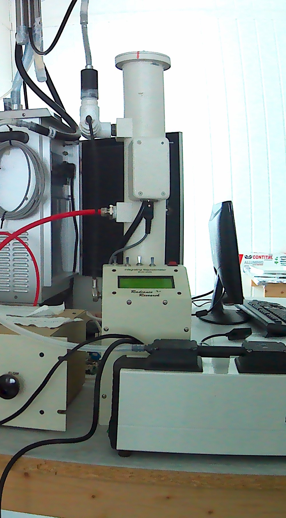
Aerosol scattering at 1 wavelength (530 nm) measured using a nephelometer M903, manufactured by Radiance Research.
-

Climate-Cryosphere-Carbon interactions in Kongsfjorden, Svalbard (C3) Use sediment cores as archives of climate-induced destabilizations in the fjord. By targeting well known past climate changes (MWP and LIA) we will understand how the C3 system varied during natural warming and cooling events. Retrieve of two sediment cores in Kongsfjorden, in summer 2017, to encompass the last 1k years.
-

Atmospheric Gondola for Aerosol Profiles (AGAP) The scientific goals of AGAP are to develop novel aerosol payloads and evaluate the vertical distribution of aerosol properties in the Arctic Boundary Layer. Dataset consists in Aerosol vertical profiles gridded at a 50 m spatial resolution: R, T, P, RH, Aerosol size distribution, BC concentration, O3. Maximum altitudes 1500 m.