2025
Type of resources
Available actions
Topics
Keywords
Contact for the resource
Provided by
Years
Formats
Representation types
Update frequencies
status
Scale
-
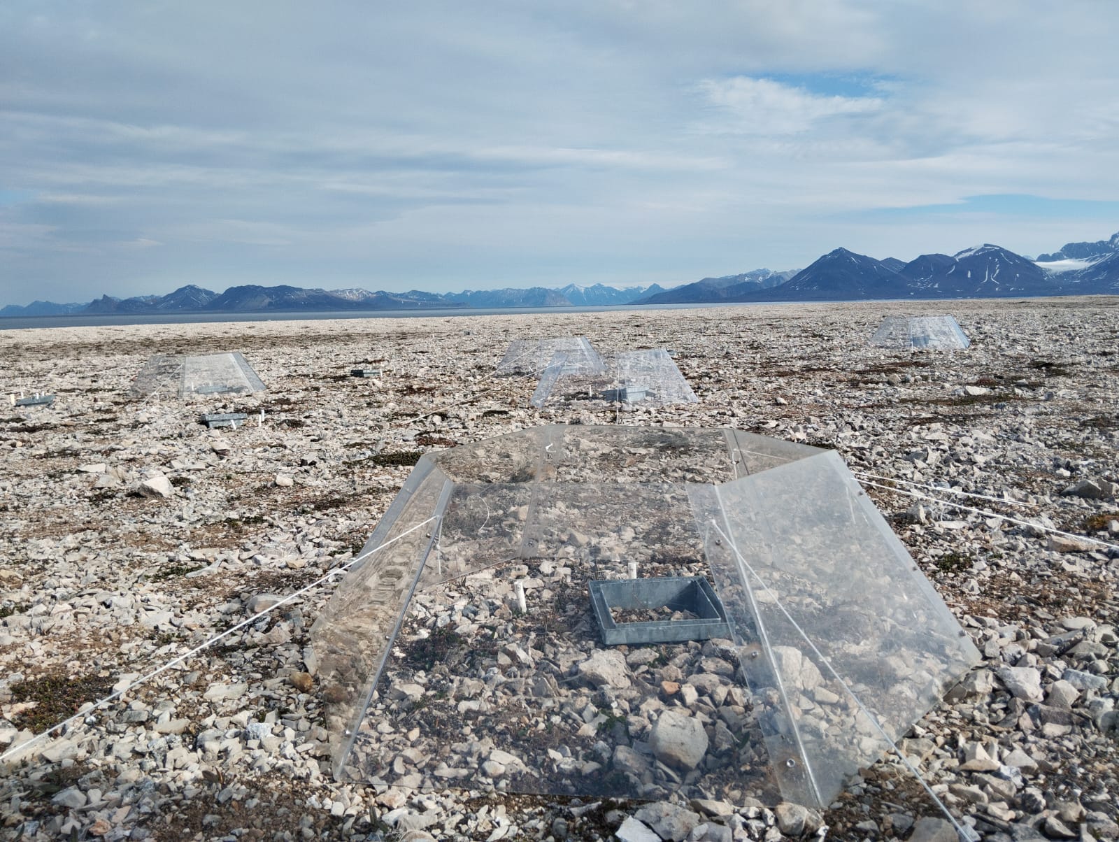
A long-term climate manipulation experiment has been ongoing since 2014 at the REMUS site (Responses of Microbes in Upper Soil Horizons to Environmental Manipulations). Twenty-four open-top chambers (OTCs) were installed to simulate warmer ground temperatures and increased precipitation. To mimic enhanced rainfall, irrigation is applied twice a year, at the end of June and August. The transparent OTCs create an average ground temperature increase of approximately 1°C in the treated plots. The site is located about 11 Km from Ny-Ålesund at Kongsfjordneset (78.96661°N 11.47576°E) on the Brøgger Peninsula. In total, 48 plots with different plant species have been selected for the study. Of these, 24 are equipped with OTCs, while the remaining 24 are irrigated, with half of the irrigated plots also containing OTCs (12 with OTCs, 12 without). The REMUS site is registered on the Research in Svalbard Portal under ID 6921. This site is part of the International Tundra Experiment (ITEX), a global research initiative aimed at understanding the responses of tundra plant species through simple manipulation and transplant experiments conducted across multiple Arctic and alpine sites.
-
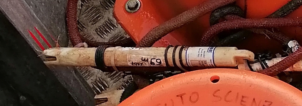
This dataset comprises measurements from thermistor (SBE56) mounted on the Mooring Dirigibile Italia (MDI), which is managed by the Institute of Polar Sciences of the National Research Council (CNR). The mooring is placed in the Kongsfjorden, Svalbard Island, since September 2010 and the thermistor at the nominal depths of 92 and 97 m was operative from June 2017 to August 2020. This dataset is also part of the SIOS-Svalbard Integrated Arctic Earth Observing System, developed to observe the impacts of climate change, including the rapid loss of sea ice cover, the retreat of local glaciers, and the Atlantification of Arctic seas. Measured properties are: sea-water temperature.
-

2017 NAIS at Gruvebadet
-

2020 NAIS at Gruvebadet.
-
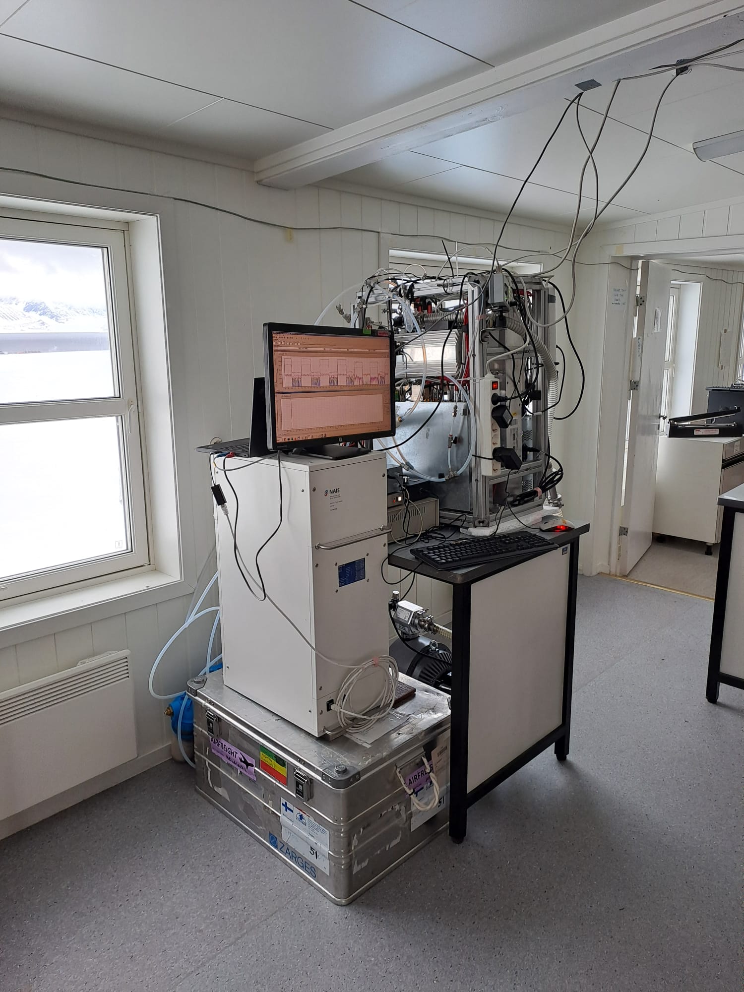
2023 NAIS at Gruvebadet
-
This dataset comprises measurements from S1 Mooring, which is managed by the Institute of Polar Sciences of the National Research Council (CNR) and National Institute of Oceanography and Applied Geophysics (OGS). The data was gathered on the Fram Strait south of the Spitsbergen in an open-sea area strongly influenced by both the interaction between Atlantic (northward-moving) and Arctic (southward-moving) waters as well as by the presence and winter formation of sea ice and atmospheric forcing. To understand these dynamics, a deep-water oceanographic S1 Mooring was anchored at about 1040 meters depth, since June 2014 and is part of the SIOS-Svalbard Integrated Arctic Earth Observing System, developed to observe the impacts of climate change, including the rapid loss of sea ice cover, the retreat of local glaciers, and the Atlantification of Arctic seas. The dataset is related to instrument mounted at 1010 m during the 2023 - 2024 survey. The instrument measures sea-water temperature, conductivity, oxygen and turbidity and related salinity and density anomaly. The acquisition of this time series data is still ongoing and will continue, bolstered by the inclusion of this infrastructure within the framework of the Italian PNRR project ITINERIS. This ensures sustained data collection and further enhances our understanding of the observed environmental changes.
-

2024 NAIS at Gruvebadet
-
This dataset comprises measurements from S1 Mooring, which is managed by the Institute of Polar Sciences of the National Research Council (CNR) and National Institute of Oceanography and Applied Geophysics (OGS). The data was gathered on the Fram Strait south of the Spitsbergen in an open-sea area strongly influenced by both the interaction between Atlantic (northward-moving) and Arctic (southward-moving) waters as well as by the presence and winter formation of sea ice and atmospheric forcing. To understand these dynamics, a deep-water oceanographic S1 Mooring was anchored at about 1040 meters depth, since June 2014 and is part of the SIOS-Svalbard Integrated Arctic Earth Observing System, developed to observe the impacts of climate change, including the rapid loss of sea ice cover, the retreat of local glaciers, and the Atlantification of Arctic seas. The dataset is related to thermistor mounted at 925m during the 2023 - 2024 survey. The acquisition of this time series data is still ongoing and will continue, bolstered by the inclusion of this infrastructure within the framework of the Italian PNRR project ITINERIS. This ensures sustained data collection and further enhances our understanding of the observed environmental changes.
-

2018 NAIS at Gruvebadet.
-

This dataset comprises measurements from moored sediment trap, collected by the mooring KIM mooring in the Krossfjord (Svalbard islands). The data was gathered at Krossfjorden, Svalbard Island, since September 2020. This dataset is also part of the SIOS-Svalbard Integrated Arctic Earth Observing System, developed to observe the impacts of climate change, including the rapid loss of sea ice cover, the retreat of local glaciers, and the Atlantification of Arctic seas. Measured properties: Total Sedimentation flux.