1
Type of resources
Available actions
IADC Research Activities
Topics
Keywords
Contact for the resource
Provided by
Years
Formats
Representation types
Update frequencies
status
Scale
-
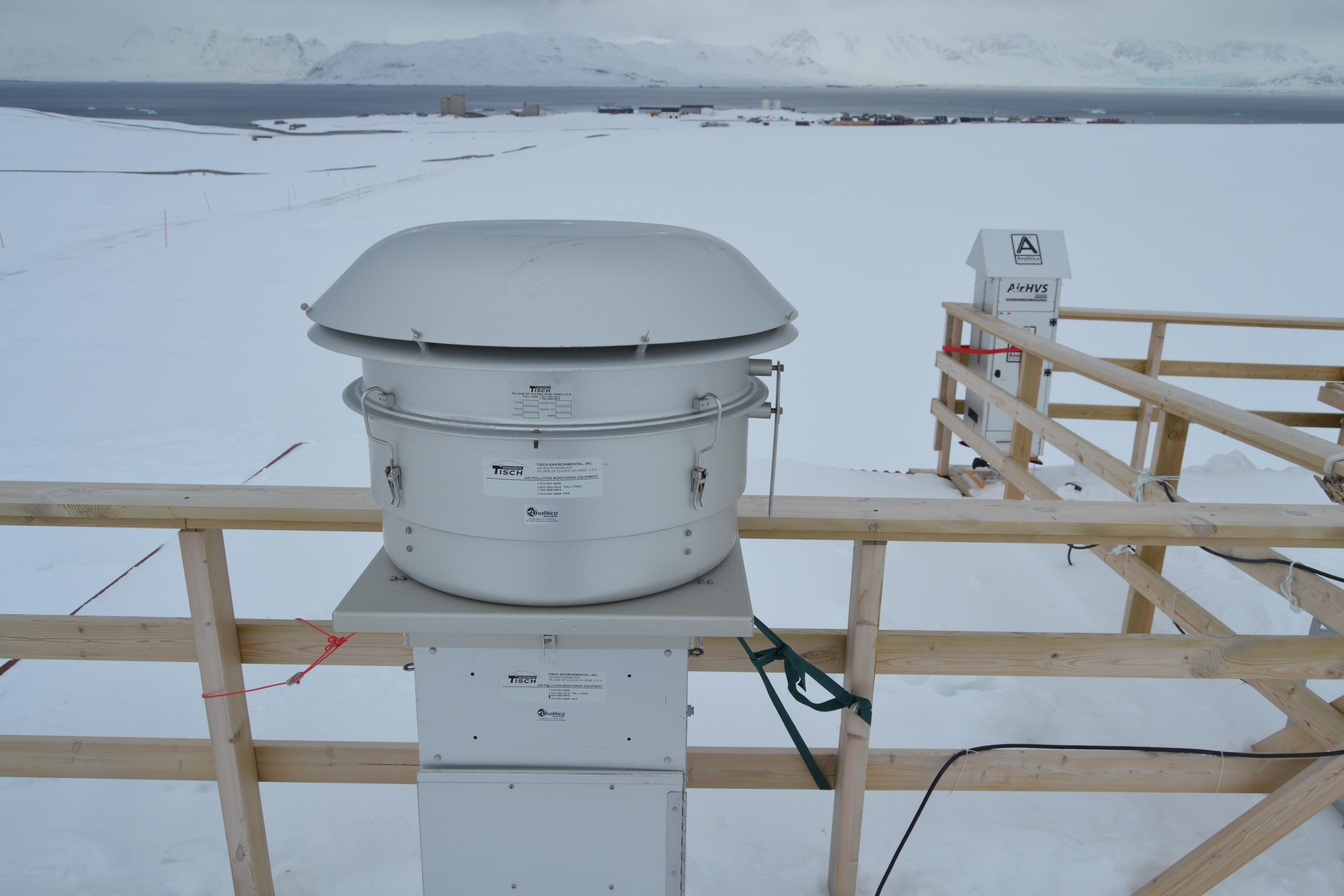
Sampling of PM10 aerosol using a cascade impactor to define the chemical composition in six different size stages. The quartz filters were extracted with ultrapure water and water soluble species were determined: major ions, MSA, carboxylic acids, amino acids, sugars, phenolic compounds, and other organic water-soluble emergening pollutants.
-
This dataset comprises measurements from S1 Mooring, which is managed by the Institute of Polar Sciences of the National Research Council (CNR) and National Institute of Oceanography and Applied Geophysics (OGS). The data was gathered on the Fram Strait south of the Spitsbergen in an open-sea area strongly influenced by both the interaction between Atlantic (northward-moving) and Arctic (southward-moving) waters as well as by the presence and winter formation of sea ice and atmospheric forcing. To understand these dynamics, a deep-water oceanographic S1 Mooring was anchored at about 1040 meters depth, since June 2014 and is part of the SIOS-Svalbard Integrated Arctic Earth Observing System, developed to observe the impacts of climate change, including the rapid loss of sea ice cover, the retreat of local glaciers, and the Atlantification of Arctic seas. The CTD sensor mounted at 785 m measures sea-water temperature and salinity. The acquisition of this time series data is still ongoing and will continue, bolstered by the inclusion of this infrastructure within the framework of the Italian PNRR project ITINERIS. This ensures sustained data collection and further enhances our understanding of the observed environmental changes.
-
Terrestrial Photography ApplicationS on Snow covEr in Svalbard (PASSES) Project start: 2018-04-15 - end: 2021-12-31 The purpose of this activity is the development of a new snow product focused on the estimation of the fraction of snow cover in selected sites at different spatial resolutions. This dataset will be aimed to support the estimation of cryospheric information using remotely sensed data, with a particular attention to data obtained in the framework of the Copernicus program. The availability of this dataset in a natural laboratory such as Svalbard islands will support the reduction of the gap between remotely sensed data and modeling activities. This added value will be very important considering the higher spatial resolution of the sensors recently deployed. The dataset will be based on re-using data obtained from public repositories such as the digital elevation model of Svalbard, the available webcam imageries in Svalbard and satellite products from Landsat, Sentinel and MODIS missions. All the available data will be integrated in order to estimate the fraction of snow cover, at different spatial resolutions, for each satellite mission. These estimations, computed at different sites in Svalbard islands, will offer the opportunity to better integrate results obtained by remote sensing with modeling and air-snow interactions studies. Particular attention will be devoted to the formalization of agreements with raw-data providers in case of not-public licensing policies.
-

Permafrost Release Into The Marine System In A Warming Arctic (PRIMA) Data about Physical and chemical oceanography and vertical fluxes of sedimentary material from Mooring Aldo Pontremoli (MAP) and geochemical biomarker data from sediment core. Instrument: SBE56, SBE37, Sediment trap Technicap PPS 4/3, GC-MS
-
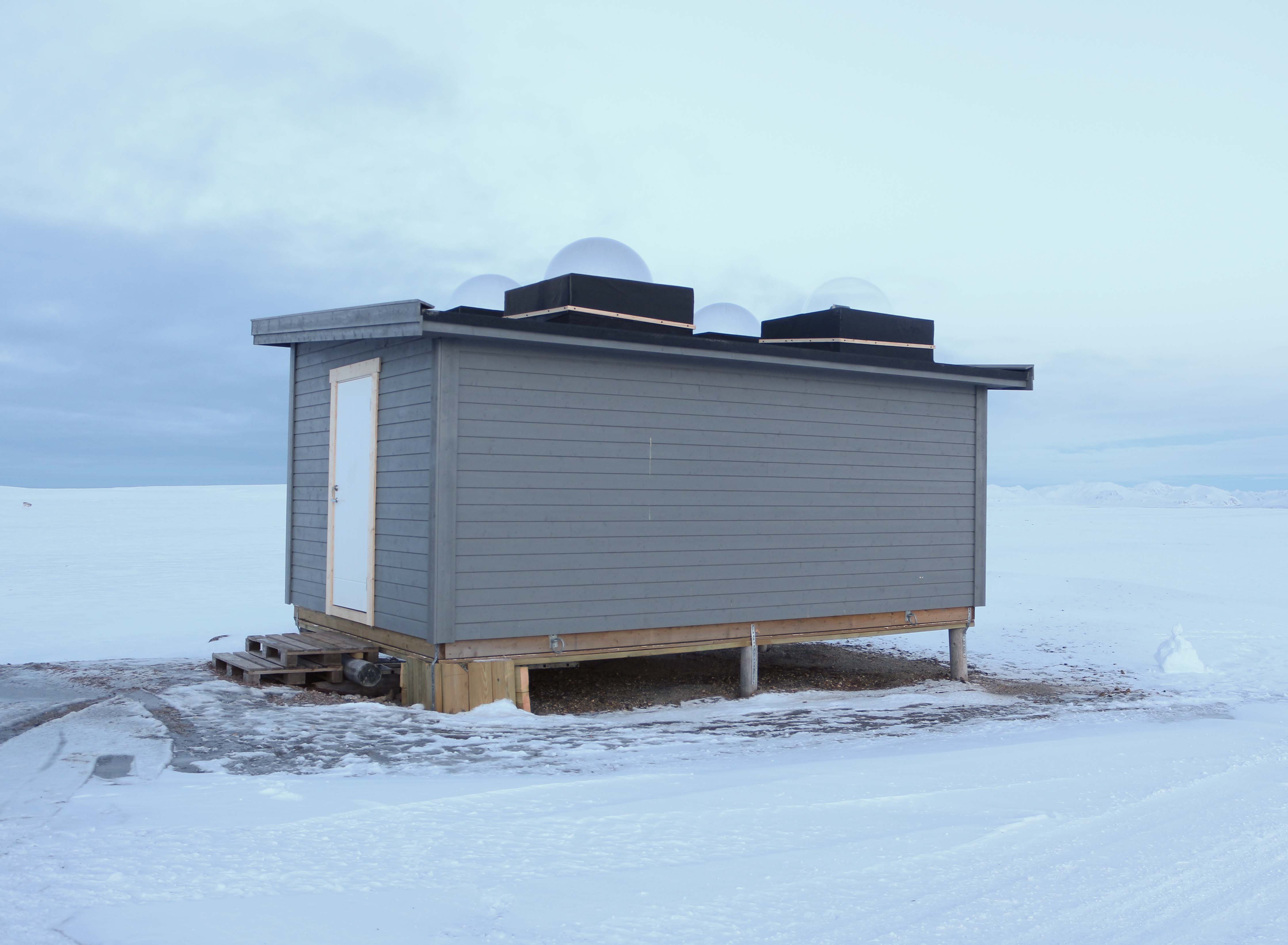
High-Latitude Aurora Activity Monitor by means of an automatised digital camera, recording all-sky images in the 630.0 nm (red), 557.7 nm (green) and 427.8 nm (blue) wavelengths. The camera is operated by INAF (Italian National Institute of Astrophysics) and contributes to the international network MIRACLE (https://space.fmi.fi/MIRACLE/), with instruments distributed along the Scandinavia and the Svalbard. The camera started operating in November 1999, when it was located on the roof of the French building (Lat = 78° 55' 20" N, Lon = 11° 56' 02" E). In November 2015 the instrument was moved to the Sensitive Lights Cabin (Lat = 78° 56' 28.2" N, Lon = 11° 50' 31.7" E, Elev. = 28 m). The Instrument was then updated in 2017 with a new cooled CMOS camera, which replaced the old CCD camera + image intensifier.
-
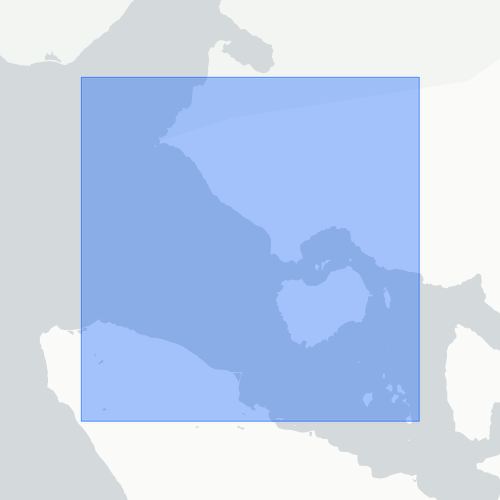
pH tipping point in Svalbard (pHinS) The project is focused on carbonate chemistry in the fjord and measure how meltwater, icebergs and freshwater runoff affects the acidity of coastal seawater. Acquisition of CTD profiles and seawater samples at discrete depths (surface, bottom and 1-3 intermediate depths) to determine pH, total alkalinity, dissolved inorganic carbon, dissolved oxygen, nutrients, dissolved organic carbon. Collection of samples from icebergs and streams to determine the same set of parameters measured in the seawater. Some of the analysis were performed in the laboratory of the “Dirigibile Italia” Arctic station soon after the collection; others will be performed on preserved samples in ISMAR’s laboratories. 62 water column profiles of pressure, Temperature, salinity, dissolved oxygen, turbidity instrument: SBE19plus
-
ISotopic and physical-chemical MOnitoring of GLACial drainages and sea water in the Ny-Ålesund area (Svalbard) (ISMOGLAC) Sampling and in-situ measurements on snow and water, performed into both Kongsfjorden and glacial streams that originate in supraglacial, englacial and subglacial zones of different glaciers (Midtre Lovenbreen, Austre broggerbreen, Vestre Broggerbreen, Kongsvegen). Dataset concerns water isotopes signature of snow and Kongsfjorden water and physical-chemical data of the latter.
-
Brief narrative summary of the content of the resource(s)
-
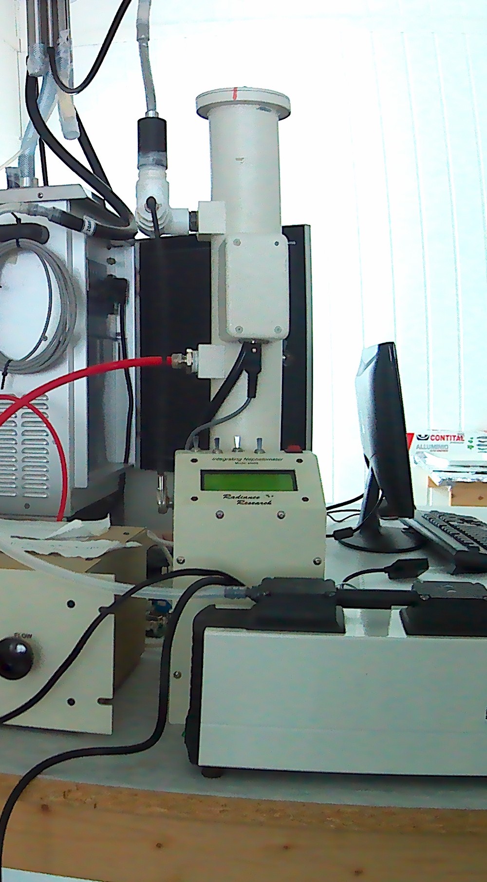
Aerosol scattering at 1 wavelength (530 nm) measured using a nephelometer M903, manufactured by Radiance Research.
-
This proposal will focus, by means of a multidisciplinary and well-balanced consortium on eutrophication, contaminants, marine litter and underwater noise descriptors of the MSFD. vertical acquisition in 18 CTD station in Kongsfjorden with water sampling at 2-3 depths (surface, intermediate, bottom)for nutrient and pH analyses of sampled water in the lab. parameters: Pressure, Strain Gauge [db]rnTemperature [IPTS-68, deg C]rnConductivity [mS/cm]rnpHrnOxygen, SBE 43 [ml/l]rnTurbidity, Turner Cyclops [NTU] Pressure, Strain Gauge [db]rnTemperature [IPTS-68, deg C]rnConductivity [mS/cm]rnpHrnOxygen, SBE 43 [ml/l]rnTurbidity, Turner Cyclops [NTU]