HUMIDITY
Type of resources
Available actions
Topics
Keywords
Contact for the resource
Provided by
Years
Formats
Representation types
Update frequencies
status
Scale
-

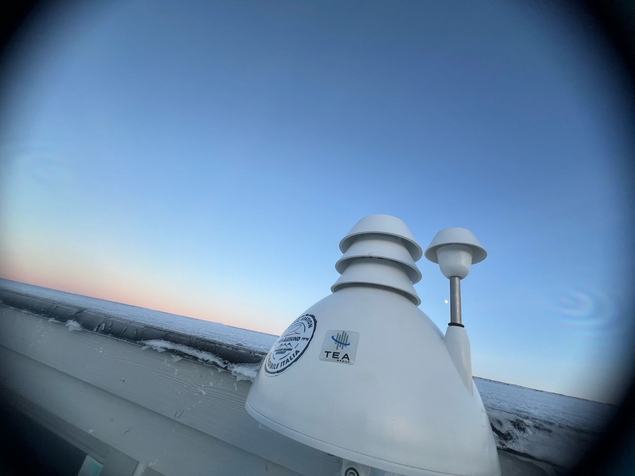
The AUXMON (AUXiliary MONitoring) project aims at providing a continuous monitoring of auxiliary variables useful to support investigation of Arctic atmospheric composition, temperature, humidity. A small network of 4 AIRQino station is the core infrastructure of the project. Three of these stations are positioned outdoors, one (station id 266) is placed inside the italian base. Specifically, the AIRQino stations are low-cost sensors providing information about the concentration of CO2, gaseous pollutants, particulate matter, air temperature and relative humidity.
-

Arctic Metrology (MeteoMet - Arcitc) Project start:2017-03-01 end: 2022-02-01 Field calibration of thermometers for air, soil, permafrost and water temperature measurements using special transportable chamber and dedicated calibration procedures. Evaluation of field measurement uncertainty. Calibration of different kind of instruments and sensors. Dedicated calibration procedures. Documented traceability to SI standards. Field measurement uncertainty evaluations.
-

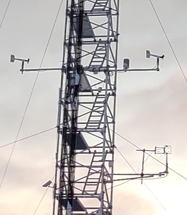
The Climate Change Tower Integrated Project (CCT-IP) represents the guide lines of the italian research in the arctic and aims to study the interaction between all the components of the climate system in the Arctic. The Amundsen-Nobile Climate Change Tower (CCT) is the key infrastructure of the project, and provides continuous acquisition of the atmospheric parameters at different heights as well as at the interface between the surface and the atmosphere. 30 minutes average (μ) and standard deviation (σ) of meteorological data are available for the download. Data at resolution of 1 minute are available for online visualization and downloadable under request. Partly funded by Arctic PASSION project (agreement number 101003472).
-
Aerosol particles that can aid the formation of ice crystals in clouds are known as ice nucleating particles (INPs). These particles play a critical role in Arctic cloud formation and regional climate. However, it remains challenging for global climate models (GCMs) to well represent Arctic INPs. To understand the biases in the GCMs, we compare simulated results from a GCM with long-term meteorological, aerosol, and INP measurements at one surface station in Ny-Ålesund, Svalbard. We find that the simulated aerosol properties are biased from the observations within one order of magnitude, due to uncertainties in modeling physical and chemical aerosol processes. Using soil samples collected from Ny-Ålesund, we derived a new fit that relates local HLD with INP concentrations. This fit shows strong ice nucleating ability at warm temperatures, indicating the presence of organic matter in local HLD. Incorporating the new fit for local HLD INPs along with parameterizations representing INPs from other terrestrial and marine sources, our model reproduces measured INP concentrations reasonably well. Our comparison highlights the importance of local HLD to the Arctic INP population. Our findings emphasize the need for long-term Arctic measurements and better representation of HLD in GCMs to improve the understanding in Arctic INP properties and their role in Arctic cloud formation.
-

The Climate Change Tower Integrated Project (CCT-IP) represents the guide lines of the italian research in the arctic and aims to study the interaction between all the components of the climate system in the Arctic. The Amundsen-Nobile Climate Change Tower (CCT) is the key infrastructure of the project, and provides continuous acquisition of the atmospheric parameters at different heights as well as at the interface between the surface and the atmosphere. Turbulent parameters are measured at the Amundsen-Nobile Climate Change Tower (CCT) by means of a Gill R3 sonic anemometer installed at 7.5 m from the ground since 2010. It measures the three components of the wind (u, v and w) and the sonic temperature at a rate of 20 Hz. These micro-meteorological measurements are complemented by standard meteorological ones at 4 levels: 2, 5, 10 and 33 m (acquisition time step equal to 1 minute). From these measurements, sensible heat flux, friction velocity and roughness length are calculated. Wind components and sonic temperature measurements were used to estimate friction velocity and kinematic heat flux. Before computing the micrometeorological parameters, a preliminary analysis is applied in order to assess the data quality and to remove low quality records. After the quality analysis application, mean values of the turbulence statistics were computed following two coordinate rotations to ensure the mean lateral and vertical velocities were zero (McMillen, 1988). Half-hour turbulent statistics (heat fluxes and friction velocity) were derived using two time-scales: a standard averaging time of 30 min and a reduced one (2 min) necessary for filtering out submeso motions contributions that can greatly alter the estimation of turbulent fluxes in a strong and long-lived stable BL. The short averaging time scale was evaluated on the basis of spectral analysis of data in order to include all turbulent scales, but excluding submeso motions (larger than turbulence). The turbulent statistics evaluated over the short subsets and then re-averaged over 30 min following Vickers and Mahrt (2006). Turbulent parameter relative to unfavorable wind direction ([150÷270] degrees) for which the tower was upwind of the sonic anemometer were not discarded but are flagged (flagdir=1) in the final dataset. More, the percentage of NaNs relative to each run is indicated. The wind speed vertical profile measured by slow response standard meteorological anemometers at 2, 5, 10 and 33 m was used for estimating the roughness length assuming a typical log wind profile under statically neutral conditions. Mahrt, L., 1998. Flux Sampling Errors for aircraft and towers. J. Atmos. Ocean. Technol. 15, 416-429. Mc Millen, R.T., 1988. An Eddy correlation technique with extended applicability to non-simple terrain. Boundary-Layer Meteorol. 43, 231-245. Vickers D, Mahrt L. 2006. A solution for flux contamination by mesoscale motions with very weak turbulence. Boundary-Layer Meteorol. 118: 431–447. https://doi.org/10.1007/s10546-005-9003-y. Zahn, E., Chor, T.L., Dias, N. L., 2016. A Simple Methodology for Quality Control of Micrometeorological Datasets. American Journal of Environmental Engineering 6(4A): 135-142 DOI: 10.5923/s.ajee.201601.20.