SVALBARD AND JAN MAYEN
Type of resources
Available actions
IADC Research Activities
Topics
Keywords
Contact for the resource
Provided by
Years
Formats
Representation types
Update frequencies
status
Scale
-
Brief narrative summary of the content of the resource(s)
-
Brief narrative summary of the content of the resource(s)
-
Brief narrative summary of the content of the resource(s)
-

2025 NAIS at Gruvebadet
-
Snow water equivalent at the Gruvebadet Snow Resarch Site
-
.jpg)
This dataset contains data of mercury (Hg), bromine (Br), iodine (I), Manganese (Mn), sodium (Na) and mathasulphonic acid (MSA) from Svalbard (78° N, 11° E) surface snow (first 3 cm) analysez through ionic chromatography (IC) technique. The two campaigns have been respectively conducted from october 2018 to may 2019 and from october 2019 to may 2020. All the results are shown in ppb.
-
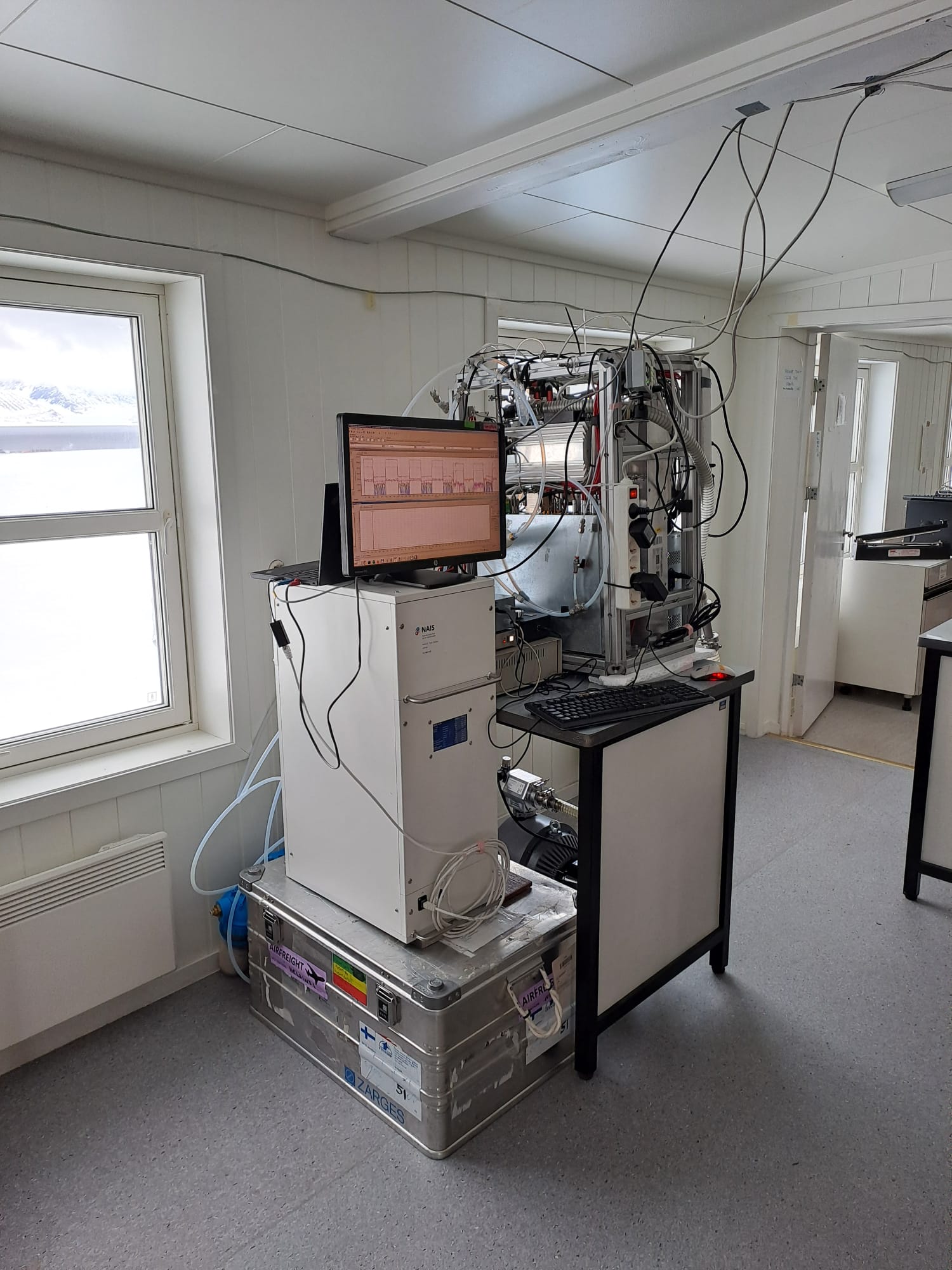
2023 NAIS at Gruvebadet
-

2021 NAIS at Gruvebadet
-
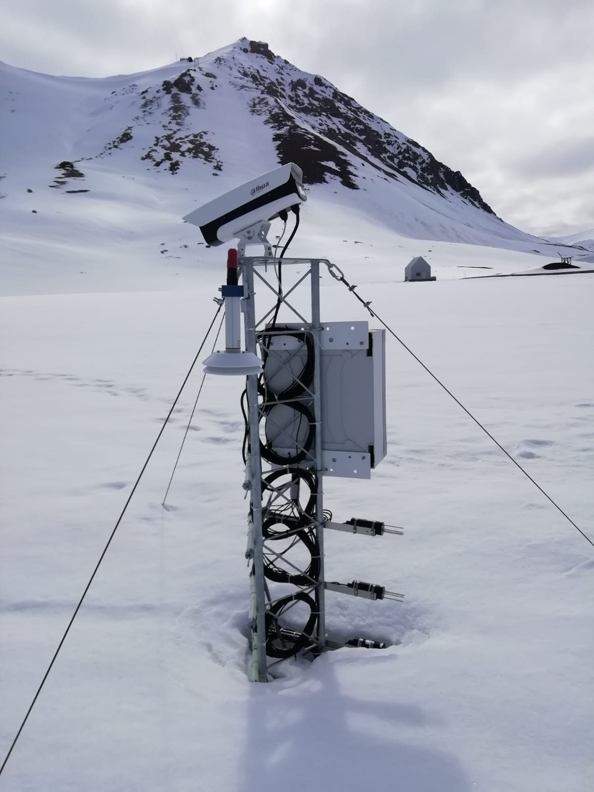
The automated nivological station was installed in November 2020 in a flat area over the tundra about 80 meters far from the Gruvebadet Atmospheric Laboratory and nearby a snow sampling site from where weekly snow samples are collected for chemical analysis. Sensors (Pt100 1/3 DIN) have been calibrated by their companies before installation and are connected to a datalogger for continuous acquisition. For all the parameters, data are logged with 10-minute time resolution and then averaged over 1 hour. This activity is carried out by the Aldo Pontremoli Centre part of the Joint Research Agreement ENI-CNR, in the framework of the SnowCorD project (SIOS Core Data).
-

Ice Nuclei Particle Concentration (INPAIR) INPAIR Svalbard' Chemistry and Physics of the Atmosphere: Ice nucleating particle (INPs) concentration obtained in spring and summer campaigns in the Arctic Region. Measurements of INPs concentrations and activation fraction of aerosol in Arctic (e.g. Gruvebadet observatory in Ny-Ãlesund). b) Correlating INPs concentration with meteorological parameters and physicochemical characterisations. Instrument: PM1 and PM10 sampling lines. DFPC chamber