2021
Type of resources
Available actions
IADC Research Activities
Topics
Keywords
Contact for the resource
Provided by
Years
Formats
Representation types
Update frequencies
status
Scale
-
Timeseries recorded at the mooring S1, at nominal depth of 1000 m during different deployments. The scope of the measurements is to study the temporal variability of the thermohaline properties of the Norvegian Deep Water, and assosiated deep flow
-
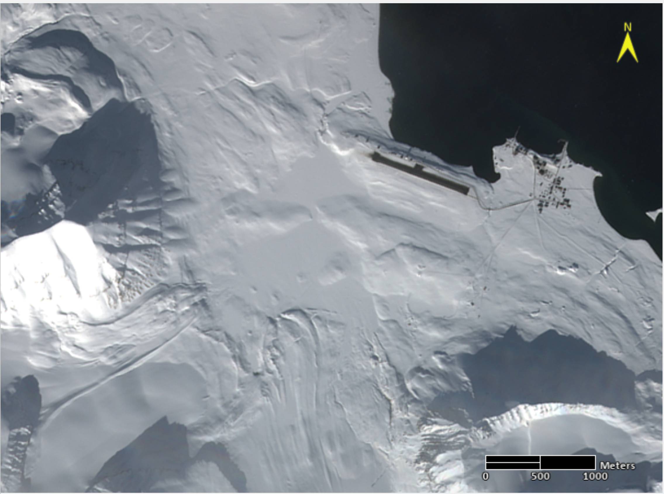
Atmospheric Gondola for Aerosol Profiles (AGAP) The scientific goals of AGAP are to develop novel aerosol payloads and evaluate the vertical distribution of aerosol properties in the Arctic Boundary Layer. Dataset consists in Aerosol vertical profiles gridded at a 50 m spatial resolution: R, T, P, RH, Aerosol size distribution, BC concentration, O3. Maximum altitudes 1500 m.
-
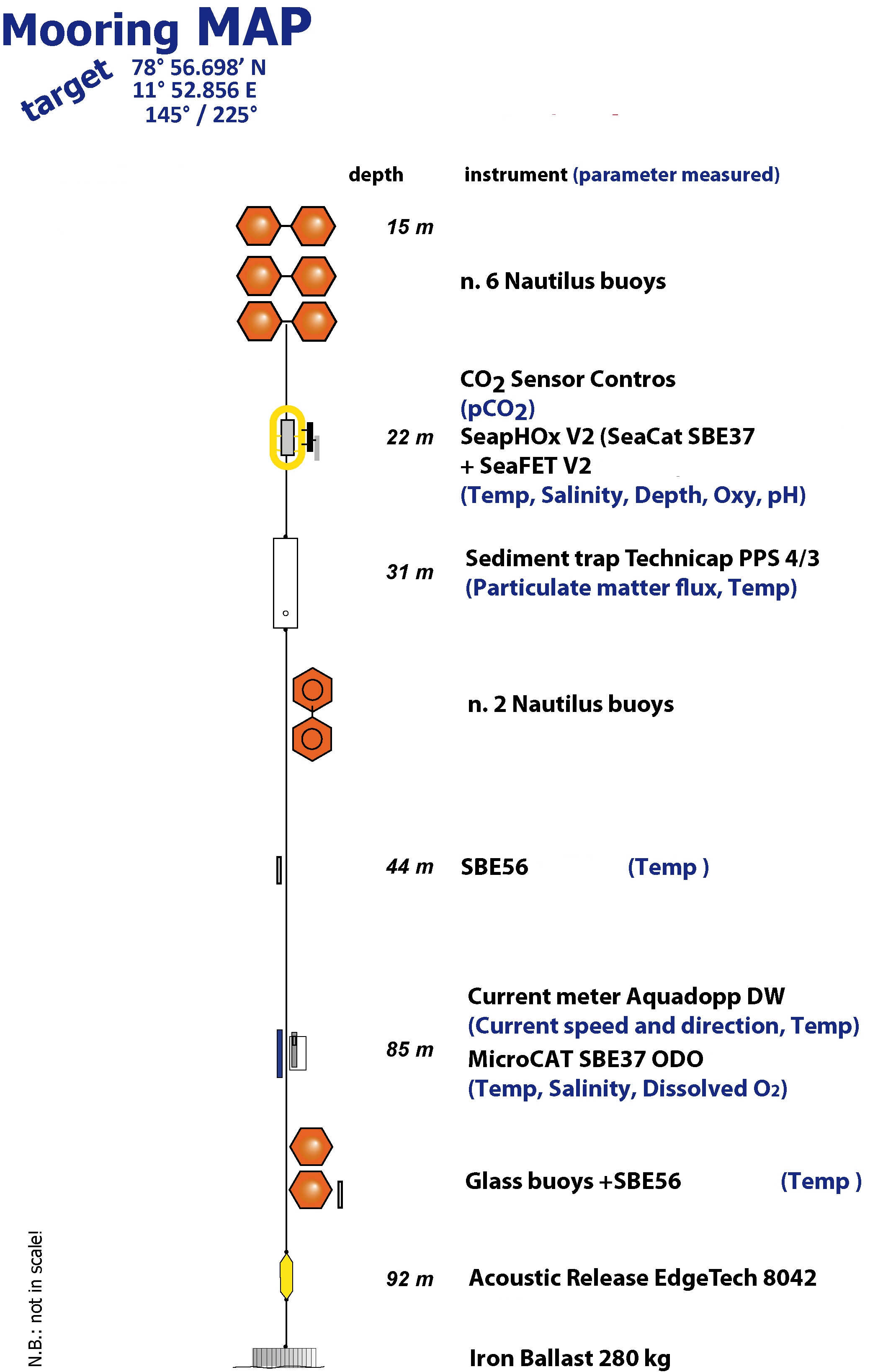
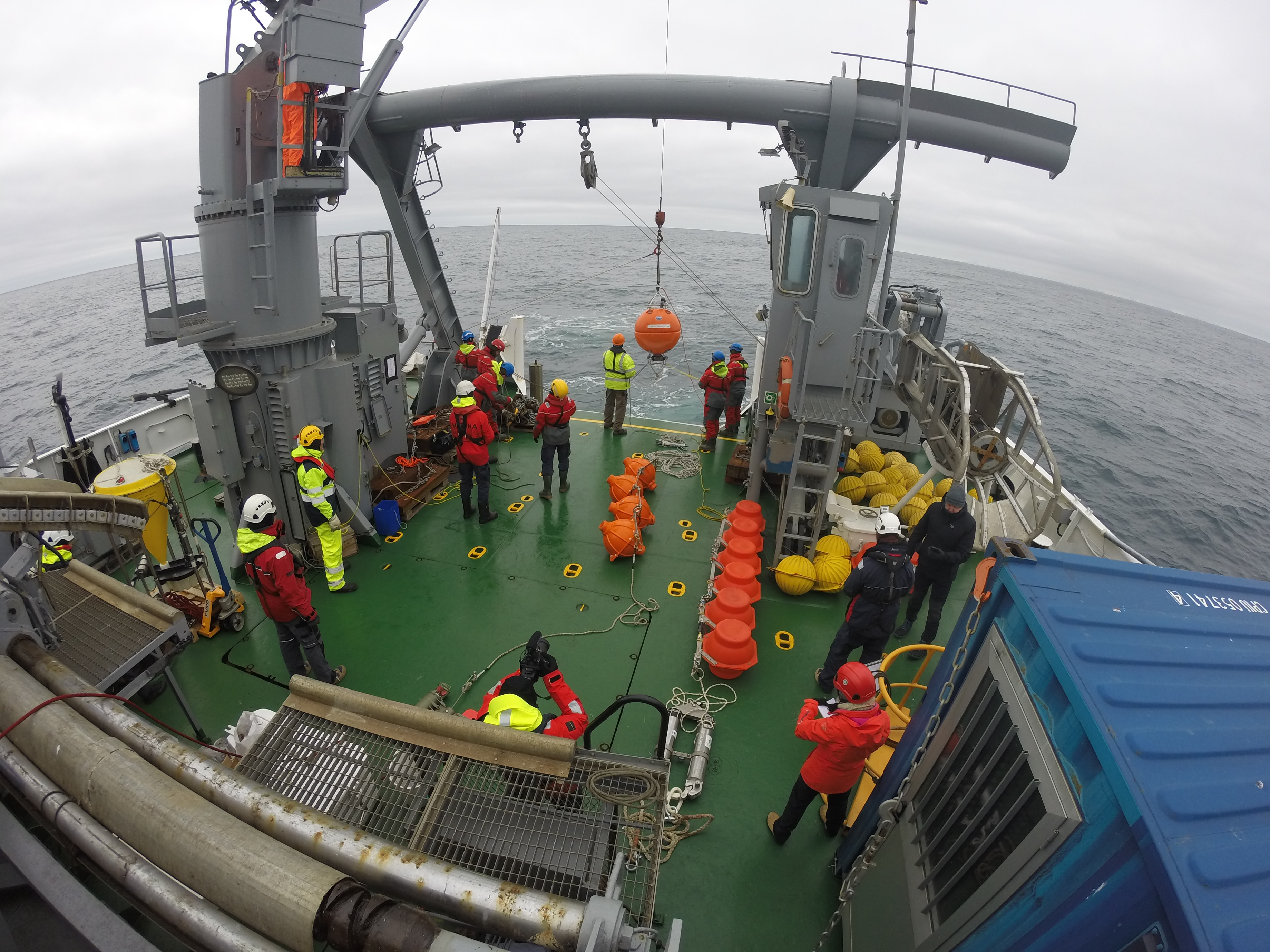
The Aldo Pontremoli Mooring (MAP), operated by the Institute of Polar Sciences of the National Research Council (CNR), has been active in the Kongsfjord, located in the Svalbard archipelago, since September 11, 2020. It is situated near the mouth of Bayelva River mouth and is influenced by land terminating glaciers and the release of permafrost. Currently, the mooring line is equipped with various instruments positioned at depths ranging from 22 to 97 meters within the water column. These instruments collect a wide array of physical and biogeochemical Essential Ocean Variables, including seawater pressure, temperature, conductivity, salinity, currents, dissolved oxygen concentration, pH, particle fluxes and dissolved carbon dioxide concentration. This activity is part of the Svalbard Integrated Arctic Earth Observing System (SIOS), which aims to monitor the impacts of climate change, such as the rapid loss of sea ice cover, the retreat of local glaciers, and the Atlantification of Arctic seas. Time series acquisition is ongoing and will continue, supported by funding from JRA ENI-CNR. The project's goal is to analyse the environmental feeback related to the material released into the marine environment due to permafrost melting. Reactivated permafrost can have significant consequences for both climate and the environment by contributing to the release of greenhouse gases into the atmosphere and pollutants into aquatic ecosystems.
-
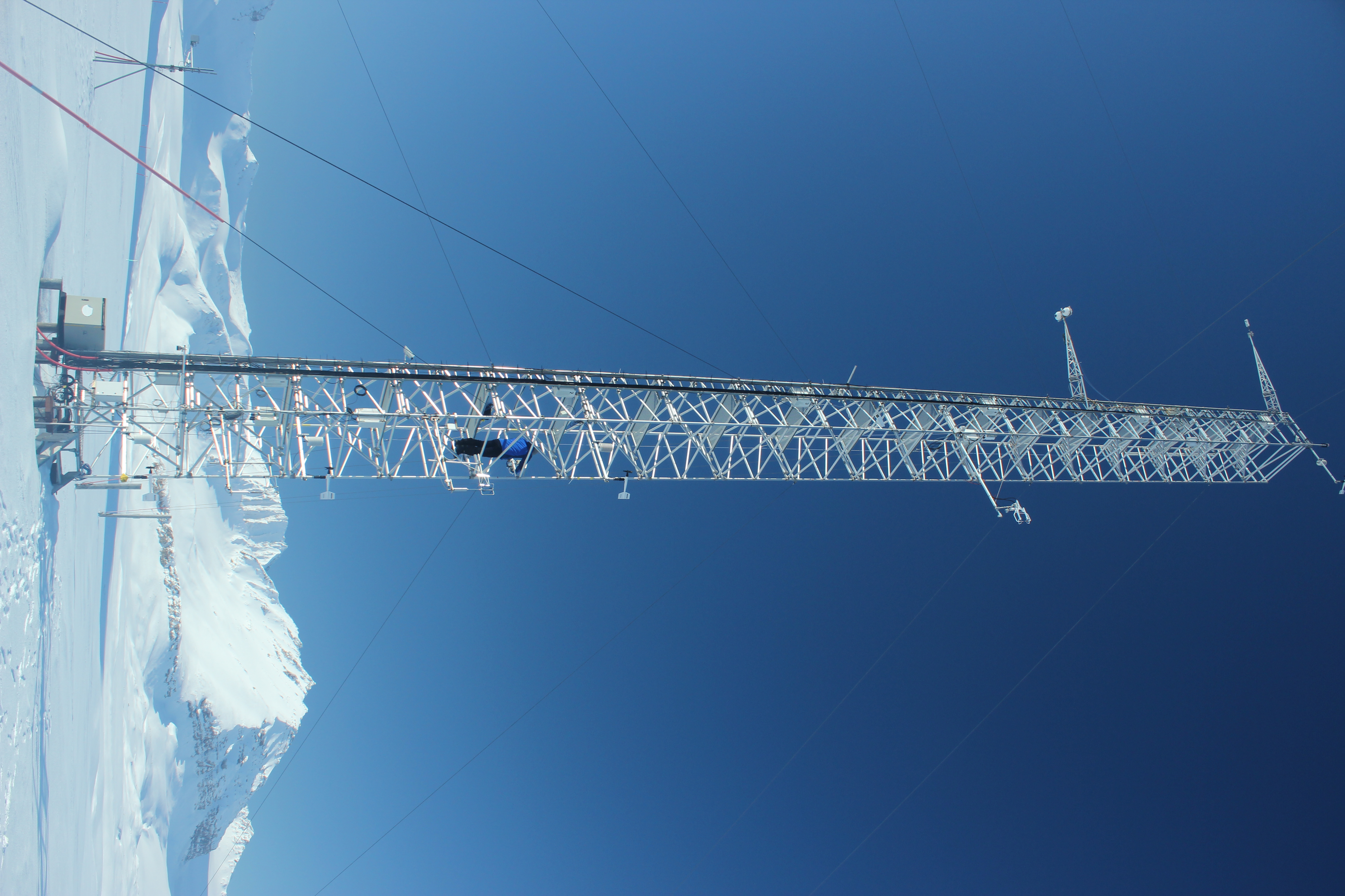
The automated station is operating at the Amundsen-Nobile Climate Change Tower since 2010, which is in a tundra site almost flat, located in the Kolhaugen area. The station is part of a complex infrastructure where multi-disciplinary observations are routinely performed. The instrument used for the meauserements is a PT100 thermocouple. This activity is carried out in the framework of the SnowCorD project (SIOS Core Data).
-

Main a trace chemical markers annually and seasonally averaged concentrations in the aerosol (bulk and PM10) sampled in 10 sites in the Arctic and Panarctic regions
-
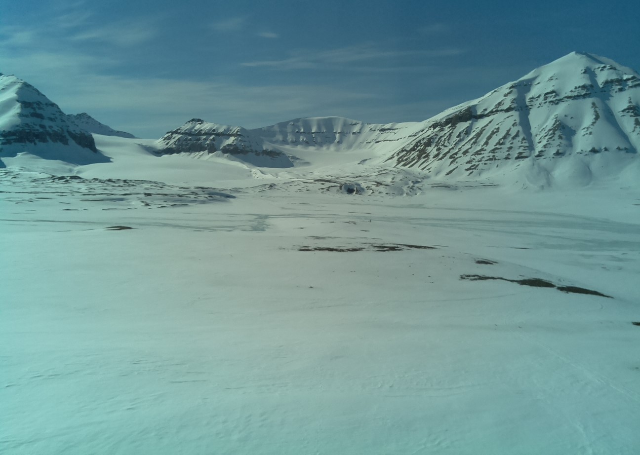
LIQUIDICE Project start: 2025-02-01 - end: 2029-1-31 The estimation of the Fractional Snow-Covered Area in the Brøgger Peninsula ensambling processed imagery located at different sites with different spatial resolutions. This dataset will be aimed to support the estimation of cryospheric information using remotely sensed data. The Ensembled FSCA retrievals are obtained, at the moment, by terrestrial photography applications established at the Amundsen-Nobile Climate Change Tower, at the Zeppelin observatory and at the Gruvebadet Snow Research Site in the Kongsfjorden area. This is the legacy of the Snow Core Data (SnowCorD) project that has been included in the activities contributing the LIQUIDICE project.
-

Monitoring of Aerosol: Short and Long range source areas related to Climate Change (MAShLoCC) During the Arctic campaign 2010, an atmospheric aerosol sampling at the Gruvebadet observatory has been carried out in order to obtain information about the formation and composition of atmospheric aerosol, transport processes toward the Arctic zone as well as local and remote source areas. Instrument : ICP-SFMS, IRMS, Orbitrap
-
Terrestrial Photography ApplicationS on Snow covEr in Svalbard (PASSES) Project start: 2018-04-15 - end: 2021-12-31 The purpose of this activity is the development of a new snow product focused on the estimation of the fraction of snow cover in selected sites at different spatial resolutions. This dataset will be aimed to support the estimation of cryospheric information using remotely sensed data, with a particular attention to data obtained in the framework of the Copernicus program. The availability of this dataset in a natural laboratory such as Svalbard islands will support the reduction of the gap between remotely sensed data and modeling activities. This added value will be very important considering the higher spatial resolution of the sensors recently deployed. The dataset will be based on re-using data obtained from public repositories such as the digital elevation model of Svalbard, the available webcam imageries in Svalbard and satellite products from Landsat, Sentinel and MODIS missions. All the available data will be integrated in order to estimate the fraction of snow cover, at different spatial resolutions, for each satellite mission. These estimations, computed at different sites in Svalbard islands, will offer the opportunity to better integrate results obtained by remote sensing with modeling and air-snow interactions studies. Particular attention will be devoted to the formalization of agreements with raw-data providers in case of not-public licensing policies.
-
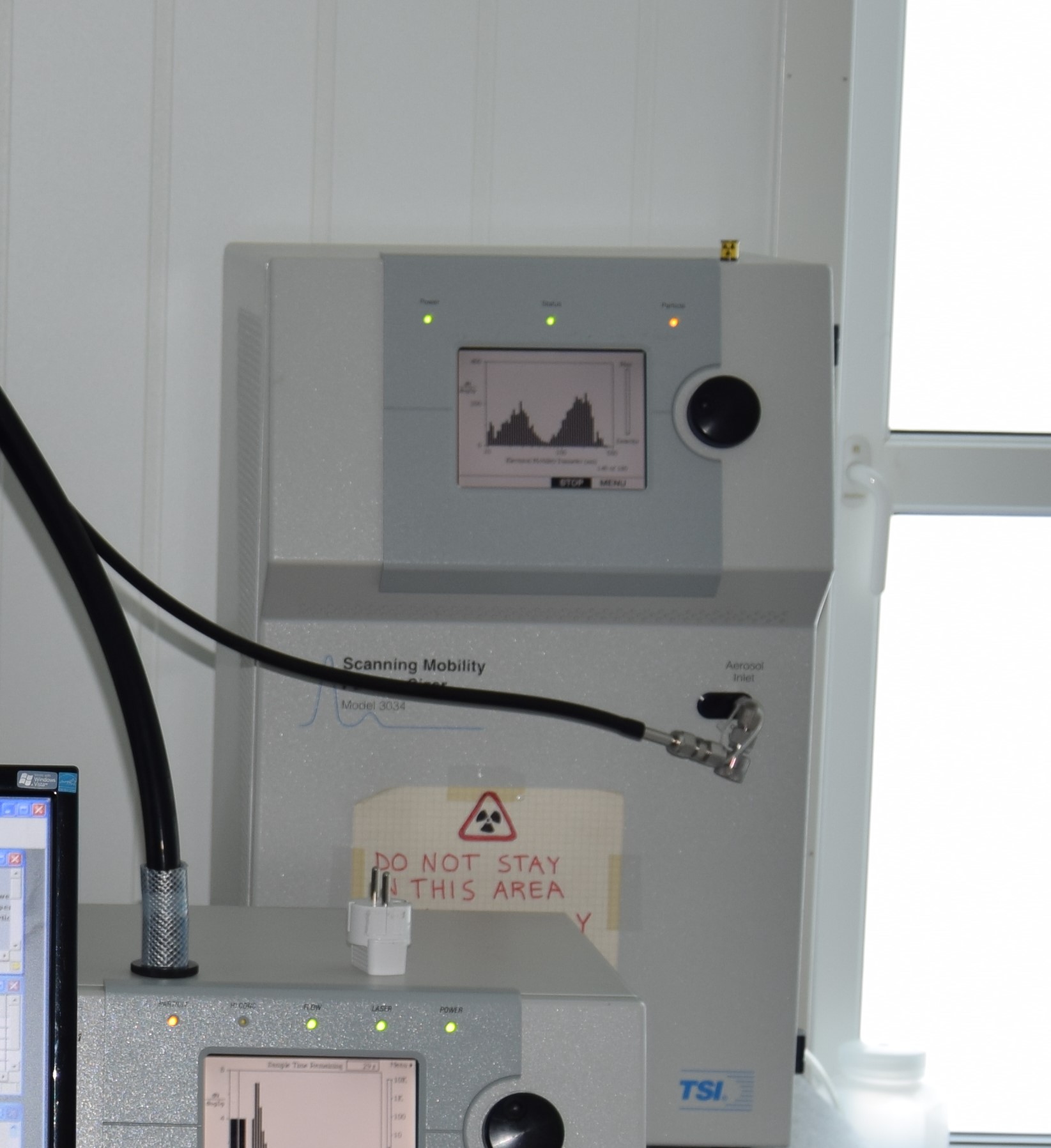
Aerosol size distribution (10-500 nm) measured by a APS 3321
-
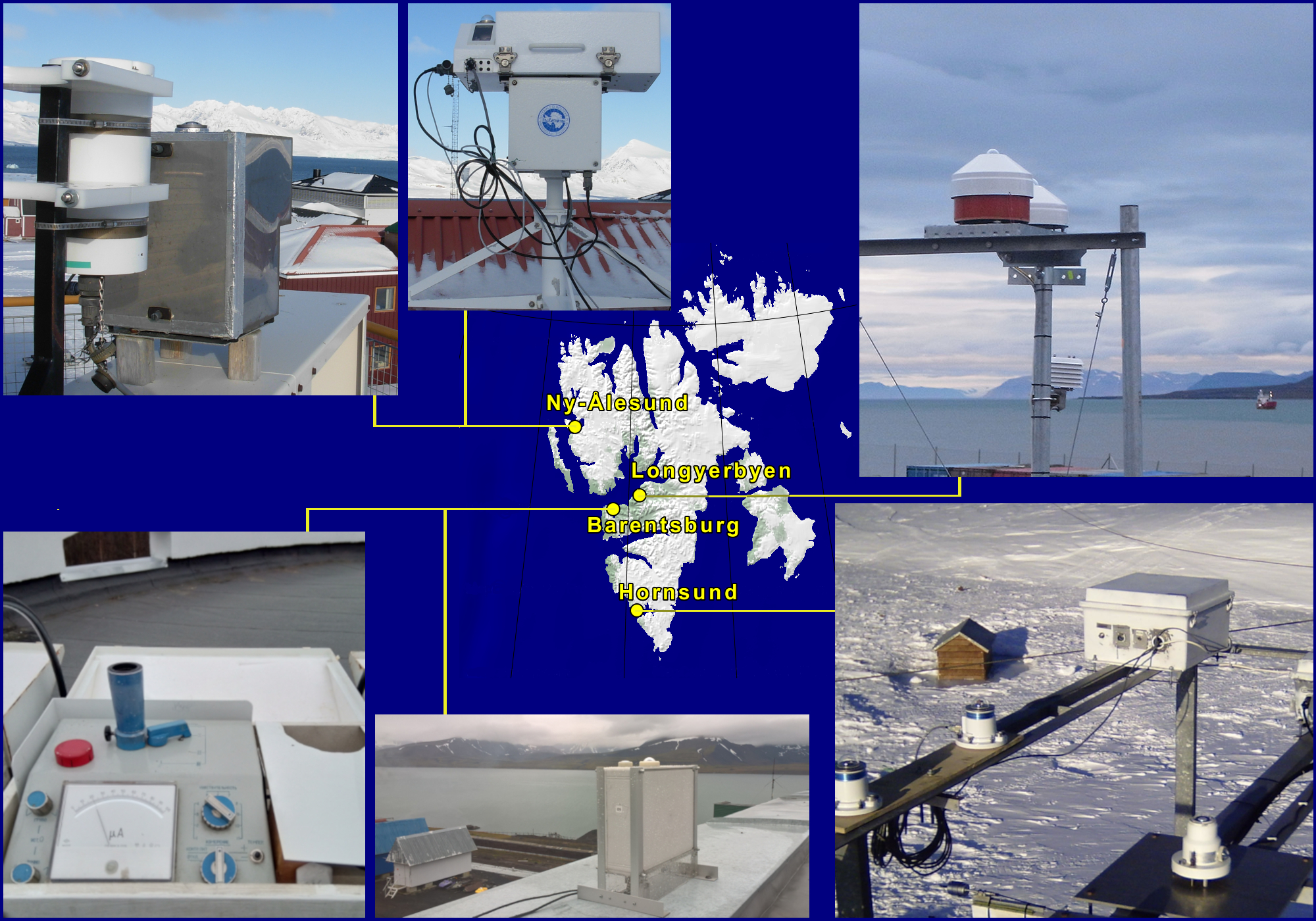
Ultraviolet Irradiance Variability in the Arctic U-VIVA Dataset contains results of the observed at 4 Svalbard stations ozone depletion episode that took place in the spring 2020 and its effect on the ultraviolet solar radiation reaching the ground. The ozone column was registered by Brewer #050 spectroradiometer, GUV and UV-RAD filter radiometers all operating in Ny-Ålesund, and by M-124 ozonometer working in Barentsburg. The solar radiation in UV-B, UV-A and erythemal UVE spectral bands that are impacted by the ozone column was measured by GUV and UV-RAD radiometers at Ny-Ålesund and, by UVS-E-T and UVS-AE-T Kipp & Zonen radiometers operating in Longyearbyen and Hornsund, respectively. An analysis of the data is presented in the 2021 SESS report published by Svalbard Integrated Arctic Earth Observing System (SIOS).