asNeeded
Type of resources
Available actions
IADC Research Activities
Topics
Keywords
Contact for the resource
Provided by
Years
Formats
Representation types
Update frequencies
status
Scale
-

This dataset contains leaf stable isotope (\u03b4\u00b9\u00b3C, \u03b4\u00b9\u2075N) and elemental composition (carbon and nitrogen content, C:N ratio) data for two dominant high-arctic dwarf shrubs, Dryas octopetala L. and Salix polaris Wahlenb. Samples were collected repeatedly during the peak of the growing season (July) from 2021 to 2024 at a continuous permafrost site in the Brogger Peninsula, near Ny-Alesund, Svalbard
-
Aerosol Optical Depth (AOD) measured by the Alfred Wegener Institute (Alfred Wegener Instituite for Polar and Marine Research (AWI)) at Ny-Alesund between 2001 and 2010 by using a Carter Scott SP01. AOD is provided at 500 nm and alpha in the spectral range (nm) 443-864.
-
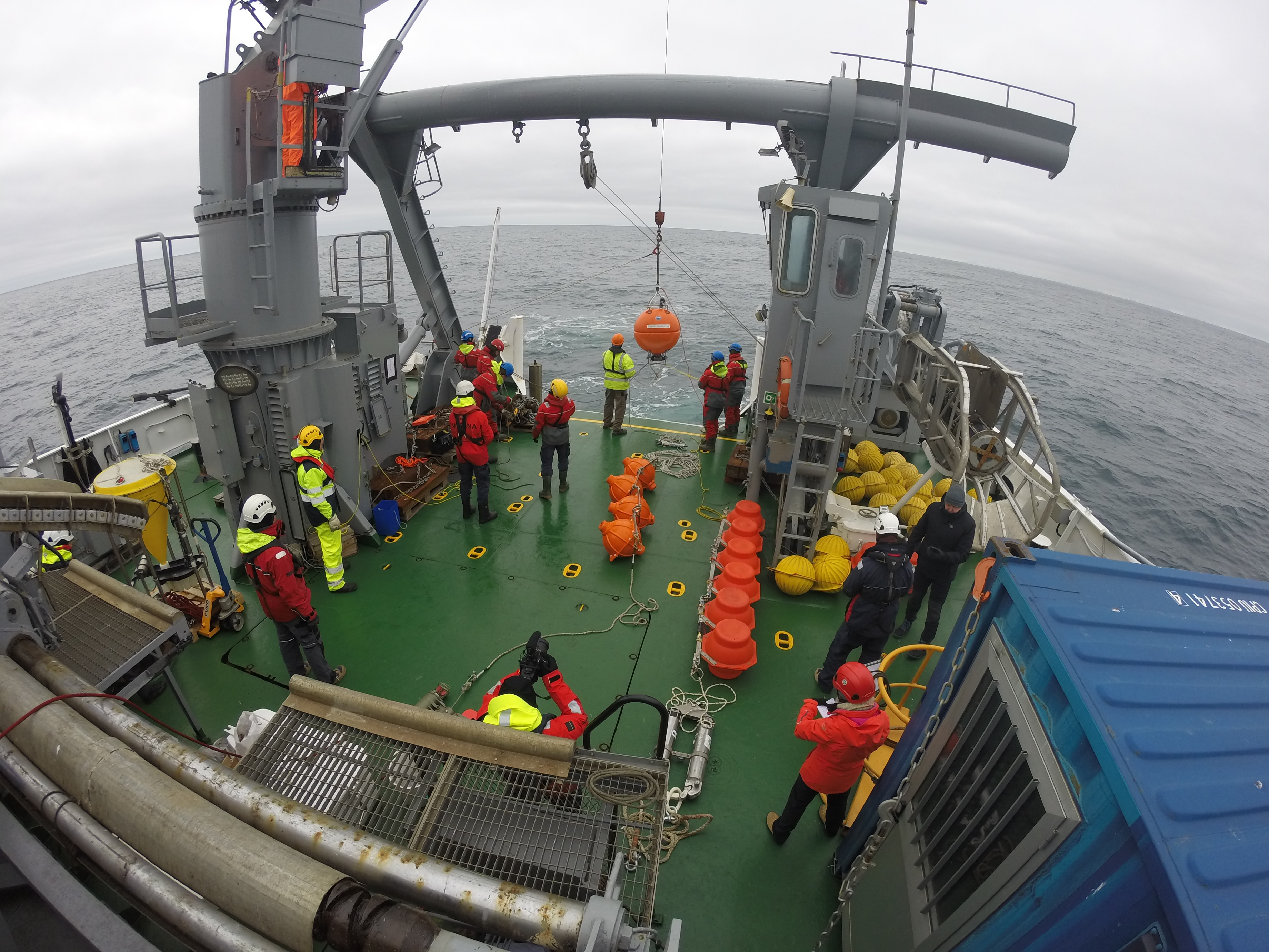
Timeseries recorded at the mooring S1, at nominal depth of 1000 m during different deployments. The scope of the measurements is to study the temporal variability of the thermohaline properties of the Norvegian Deep Water, and assosiated deep flow
-

The Climate Change Tower Integrated Project (CCT-IP) represents the guide lines of the italian research in the arctic and aims to study the interaction between all the components of the climate system in the Arctic. The Amundsen-Nobile Climate Change Tower (CCT) is the key infrastructure of the project, and provides continuous acquisition of the atmospheric parameters at different heights as well as at the interface between the surface and the atmosphere. Surface-atmosphere interface data include heat-flux between soil and snow and into the soil, soil temperature and snow skin temperature. 30 minutes average (μ) and standard deviation (σ) will be available for the download. Data at resolution of 1 minute are available for online visualization and downloadable under request. Partly funded by Arctic PASSION project (agreement number 101003472).
-

Atmospheric Gondola for Aerosol Profiles (AGAP) The scientific goals of AGAP are to develop novel aerosol payloads and evaluate the vertical distribution of aerosol properties in the Arctic Boundary Layer. Dataset consists in Aerosol vertical profiles gridded at a 50 m spatial resolution: R, T, P, RH, Aerosol size distribution, BC concentration, O3. Maximum altitudes 1500 m.
-
.jpg)
This dataset contains data of mercury (Hg), bromine (Br), iodine (I), Manganese (Mn), sodium (Na) and mathasulphonic acid (MSA) from Svalbard (78° N, 11° E) surface snow (first 3 cm) analysez through ionic chromatography (IC) technique. The two campaigns have been respectively conducted from october 2018 to may 2019 and from october 2019 to may 2020. All the results are shown in ppb.
-

Concentration data for Sulfuric Acid (SA), Methane Sulfonic Acid (MSA) and Iodic Acid (IA) - in molecule per cubic centimeter (#.cm-3). Averaging time 60 min.
-

2018 NAIS at Gruvebadet.
-

Main a trace chemical markers annually and seasonally averaged concentrations in the aerosol (bulk and PM10) sampled in 10 sites in the Arctic and Panarctic regions
-
Conductivity, Temperature, Depth (CTD), Salinity, Dissolved Oxygen, Fluorescence, and Turbidity were collected during upcast profiles at discrete depths of Niskin bottle closure. Biogeochemical data were obtained from laboratory analyses of the water samples collected from Niskin bottles at discrete depths along the zonal transect at 75°N in September 2021. Project PRA CASSANDRA. Italian National Research Council - Institute of Polar Sciences data from a local source. The data originators are the CNR-Institute of Polar Science and the National Institute of Oceanography and Applied Geophysics, OGS, Trieste, Italy;