1
Type of resources
Available actions
IADC Research Activities
Topics
Keywords
Contact for the resource
Provided by
Years
Formats
Representation types
Update frequencies
status
Scale
-

This dataset comprises measurements from moored sediment trap, collected by the mooring KIM mooring in the Krossfjord (Svalbard islands). The data was gathered at Krossfjorden, Svalbard Island, since September 2020. This dataset is also part of the SIOS-Svalbard Integrated Arctic Earth Observing System, developed to observe the impacts of climate change, including the rapid loss of sea ice cover, the retreat of local glaciers, and the Atlantification of Arctic seas. Measured properties: Total Sedimentation flux.
-
Aerosol particles that can aid the formation of ice crystals in clouds are known as ice nucleating particles (INPs). These particles play a critical role in Arctic cloud formation and regional climate. However, it remains challenging for global climate models (GCMs) to well represent Arctic INPs. To understand the biases in the GCMs, we compare simulated results from a GCM with long-term meteorological, aerosol, and INP measurements at one surface station in Ny-Ålesund, Svalbard. We find that the simulated aerosol properties are biased from the observations within one order of magnitude, due to uncertainties in modeling physical and chemical aerosol processes. Using soil samples collected from Ny-Ålesund, we derived a new fit that relates local HLD with INP concentrations. This fit shows strong ice nucleating ability at warm temperatures, indicating the presence of organic matter in local HLD. Incorporating the new fit for local HLD INPs along with parameterizations representing INPs from other terrestrial and marine sources, our model reproduces measured INP concentrations reasonably well. Our comparison highlights the importance of local HLD to the Arctic INP population. Our findings emphasize the need for long-term Arctic measurements and better representation of HLD in GCMs to improve the understanding in Arctic INP properties and their role in Arctic cloud formation.
-
This dataset comprises measurements from S1 Mooring, which is managed by the Institute of Polar Sciences of the National Research Council (CNR) and National Institute of Oceanography and Applied Geophysics (OGS). The data was gathered on the Fram Strait south of the Spitsbergen in an open-sea area strongly influenced by both the interaction between Atlantic (northward-moving) and Arctic (southward-moving) waters as well as by the presence and winter formation of sea ice and atmospheric forcing. To understand these dynamics, a deep-water oceanographic S1 Mooring was anchored at about 1040 meters depth, since June 2014 and is part of the SIOS-Svalbard Integrated Arctic Earth Observing System, developed to observe the impacts of climate change, including the rapid loss of sea ice cover, the retreat of local glaciers, and the Atlantification of Arctic seas. The dataset is related to thermistor mounted at 925m during the 2023 - 2024 survey. The acquisition of this time series data is still ongoing and will continue, bolstered by the inclusion of this infrastructure within the framework of the Italian PNRR project ITINERIS. This ensures sustained data collection and further enhances our understanding of the observed environmental changes.
-
This dataset comprises measurements from S1 Mooring, which is managed by the Institute of Polar Sciences of the National Research Council (CNR) and National Institute of Oceanography and Applied Geophysics (OGS). The data was gathered on the Fram Strait south of the Spitsbergen in an open-sea area strongly influenced by both the interaction between Atlantic (northward-moving) and Arctic (southward-moving) waters as well as by the presence and winter formation of sea ice and atmospheric forcing. To understand these dynamics, a deep-water oceanographic S1 Mooring was anchored at about 1040 meters depth, since June 2014 and is part of the SIOS-Svalbard Integrated Arctic Earth Observing System, developed to observe the impacts of climate change, including the rapid loss of sea ice cover, the retreat of local glaciers, and the Atlantification of Arctic seas. The CTD sensor mounted at 785 m measures sea-water temperature and salinity. The acquisition of this time series data is still ongoing and will continue, bolstered by the inclusion of this infrastructure within the framework of the Italian PNRR project ITINERIS. This ensures sustained data collection and further enhances our understanding of the observed environmental changes.
-
This dataset comprises measurements from S1 Mooring, which is managed by the Institute of Polar Sciences of the National Research Council (CNR) and National Institute of Oceanography and Applied Geophysics (OGS). The data was gathered on the Fram Strait south of the Spitsbergen in an open-sea area strongly influenced by both the interaction between Atlantic (northward-moving) and Arctic (southward-moving) waters as well as by the presence and winter formation of sea ice and atmospheric forcing. To understand these dynamics, a deep-water oceanographic S1 Mooring was anchored at about 1040 meters depth, since June 2014 and is part of the SIOS-Svalbard Integrated Arctic Earth Observing System, developed to observe the impacts of climate change, including the rapid loss of sea ice cover, the retreat of local glaciers, and the Atlantification of Arctic seas. The dataset is related to instrument mounted at 1010 m during the 2023 - 2024 survey. The instrument measures sea-water temperature, conductivity, oxygen and turbidity and related salinity and density anomaly. The acquisition of this time series data is still ongoing and will continue, bolstered by the inclusion of this infrastructure within the framework of the Italian PNRR project ITINERIS. This ensures sustained data collection and further enhances our understanding of the observed environmental changes.
-
This dataset comprises measurements from S1 Mooring, which is managed by the Institute of Polar Sciences of the National Research Council (CNR) and National Institute of Oceanography and Applied Geophysics (OGS). The data was gathered on the Fram Strait south of the Spitsbergen in an open-sea area strongly influenced by both the interaction between Atlantic (northward-moving) and Arctic (southward-moving) waters as well as by the presence and winter formation of sea ice and atmospheric forcing. To understand these dynamics, a deep-water oceanographic S1 Mooring was anchored at about 1040 meters depth, since June 2014 and is part of the SIOS-Svalbard Integrated Arctic Earth Observing System, developed to observe the impacts of climate change, including the rapid loss of sea ice cover, the retreat of local glaciers, and the Atlantification of Arctic seas. The dataset is related to instrument mounted at 1000 m and data of sea-water temperature and salinity. The acquisition of this time series data is still ongoing and will continue, bolstered by the inclusion of this infrastructure within the framework of the Italian PNRR project ITINERIS. This ensures sustained data collection and further enhances our understanding of the observed environmental changes.
-
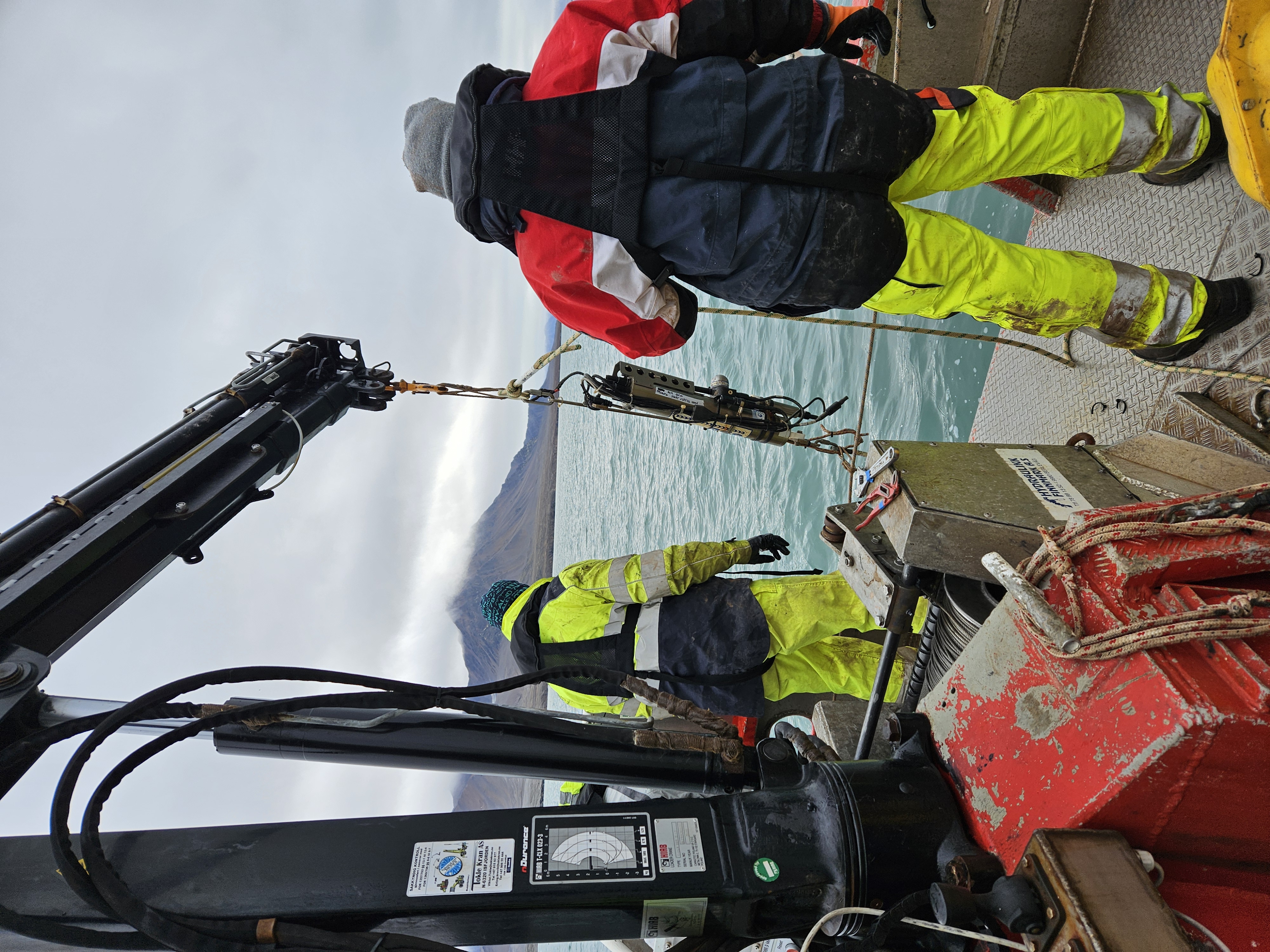
This dataset comprises measurements from a moored CTD instruments, collected by the Krossfjord Italian Mooring (KIM), which is managed by the Institute of Polar Sciences of the National Research Council (CNR). The data was gathered in the Krossfjord, Svalbard Island, since September 2020. This dataset is also part of the SIOS-Svalbard Integrated Arctic Earth Observing System, developed to observe the impacts of climate change, including the rapid loss of sea ice cover, the retreat of local glaciers, and the Atlantification of Arctic seas. Mesured properties: seawater pressure, temperature, conductivity, salinity, density, oxygen concentration. The acquisition of this time series data is still ongoing and will continue, bolstered by the inclusion of this infrastructure within the framework of the Italian PNRR project ITINERIS. This ensures sustained data collection and further enhances our understanding of the observed environmental changes.
-

2018 NAIS at Gruvebadet.
-
.jpg)
This dataset contains data of mercury (Hg), bromine (Br), iodine (I), Manganese (Mn), sodium (Na) and mathasulphonic acid (MSA) from Svalbard (78° N, 11° E) surface snow (first 3 cm) analysez through ionic chromatography (IC) technique. The two campaigns have been respectively conducted from october 2018 to may 2019 and from october 2019 to may 2020. All the results are shown in ppb.
-
The dataset includes fourteen seawater surface sampling points taken with Niskin bottles on board the MS-Teisten (Kings Bay)