Environmental monitoring facilities
Type of resources
Available actions
IADC Research Activities
Topics
Keywords
Contact for the resource
Provided by
Years
Formats
Representation types
Update frequencies
status
Scale
-
Snow water equivalent at the Gruvebadet Snow Resarch Site
-

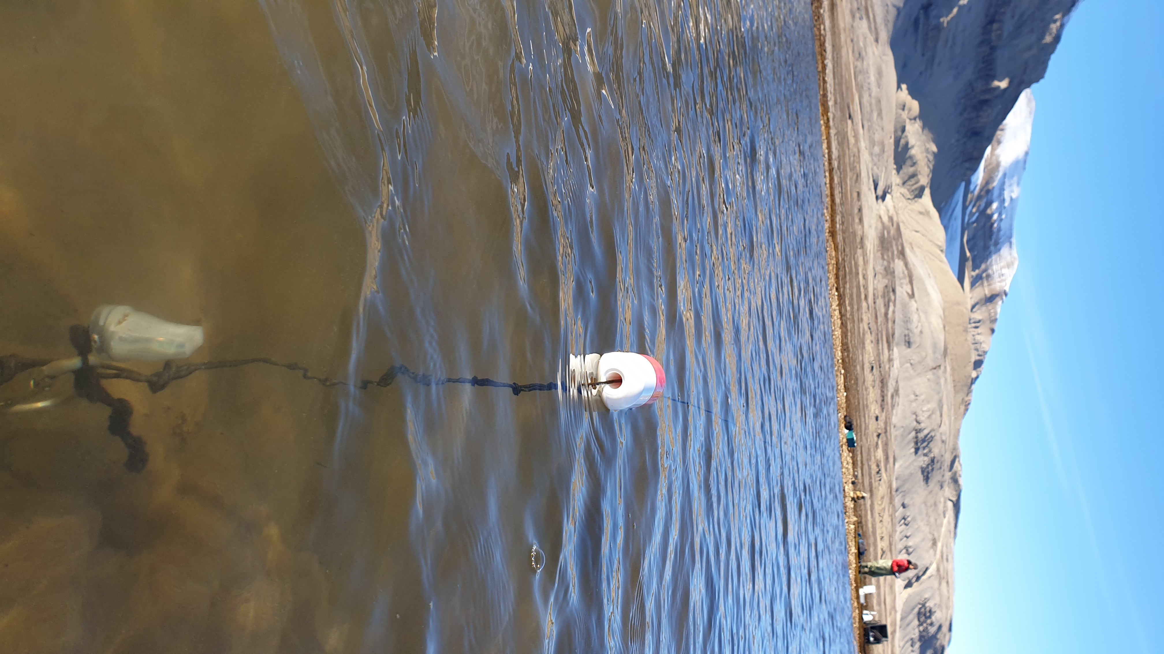
Chronobiology of polar organisms (Chronopolar) Monitoring water parameters in surface and deep (3.0 meters) using DS18B20 + rasberry-pi. Sample collection: Lepidurus arcticus.
-

This dataset comprises measurements from a moored single-point acoustic current meter, collected by the Mooring Dirigibile Italia (MDI), which is managed by the Institute of Polar Sciences of the National Research Council (CNR). The data was gathered at Kongsfjorden, Svalbard Island, since 10 September 2010. This dataset is also part of the SIOS-Svalbard Integrated Arctic Earth Observing System, developed to observe the impacts of climate change, including the rapid loss of sea ice cover, the retreat of local glaciers, and the Atlantification of Arctic seas. Measured properties are: subsurface temperature and subsurface currents. The acquisition of this time series data is still ongoing and will continue, bolstered by the inclusion of this infrastructure within the framework of the Italian PNRR project ITINERIS. This ensures sustained data collection and further enhances our understanding of the observed environmental changes.
-

Time series of marine particles fluxes and its compositions (Time and spatial scale: 15-90 days, fixed depth 83 m, 17 m above bottom). Flux of total mass, TMF, (g m-2 day-1) - Organic Carbon, OC, (per cent) - Calcium carbonate,CaCO3, (per cent) - Biogenic silica, Opal, (per cent) - Lithogenic material, Litho, (per cent) - Delta 13C, d13C, (per mil)
-

ISotopic and physical-chemical MOnitoring of GLACial drainages and sea water in the Ny-Ålesund area (Svalbard) (ISMOGLAC) Sampling and in-situ measurements on snow and water, performed into both Kongsfjorden and glacial streams that originate in supraglacial, englacial and subglacial zones of different glaciers (Midtre Lovenbreen, Austre broggerbreen, Vestre Broggerbreen, Kongsvegen). Dataset concerns water isotopes signature of snow and Kongsfjorden water and physical-chemical data of the latter.
-

This proposal will focus on eutrophication, contaminants, marine litter and underwater noise descriptors of the MSFD. Vertical acquisition in 18 CTD station in Kongsfjorden with water sampling at 2-3 depths (surface, intermediate, bottom) for nutrient and pH analyses of sampled water in the lab
-

The Brøgger peninsula located in the north-western sector of Svalbard, is rich in shallow lakes, very different in morphology, height from sea level, composition of lake sediments, seasonal snow cover and presence/absence of migratory avian fauna in their catchment areas . In 2022, as part of the EcoClimate project (PI Prof. Edoardo Calizza), the research unit of the Institute of Polar Sciences of Messina set up a first series of sensors (Temperature; light) in 8 lakes spatially distributed at different heights from the sea and with different inputs of organic and inorganic substance. The observatory is currently in its second year of measurements.
-

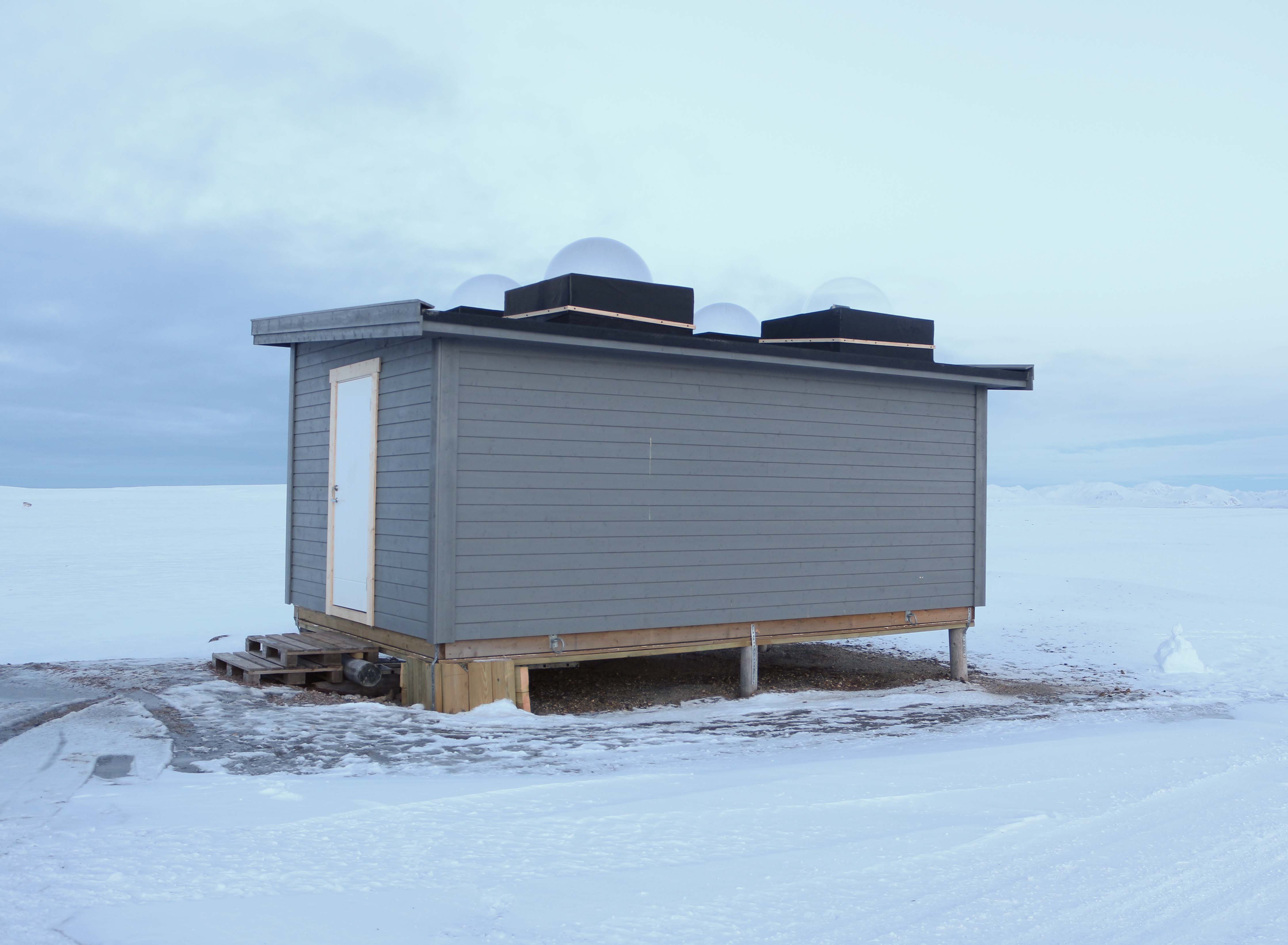
High-Latitude Aurora Activity Monitor by means of an automatised digital camera, recording all-sky images in the 630.0 nm (red), 557.7 nm (green) and 427.8 nm (blue) wavelengths. The camera is operated by INAF (Italian National Institute of Astrophysics) and contributes to the international network MIRACLE (https://space.fmi.fi/MIRACLE/), with instruments distributed along the Scandinavia and the Svalbard. The camera started operating in November 1999, when it was located on the roof of the French building (Lat = 78° 55' 20" N, Lon = 11° 56' 02" E). In November 2015 the instrument was moved to the Sensitive Lights Cabin (Lat = 78° 56' 28.2" N, Lon = 11° 50' 31.7" E, Elev. = 28 m). The Instrument was then updated in 2017 with a new cooled CMOS camera, which replaced the old CCD camera + image intensifier.
-

Observing earth critical zone processes in the bayelva basin (CZO@Bayelva) The dataset includes CO2 fluxes measurements during summer period in different area along the transect from CCT to Ny-Alesund airport. The measures are performed using a portable accumulation chamber in dark (Ecosystem respiration, ER) and light (Net Ecosystem Exchange) condition. For each plot, about 20 measures are performed, including soil temperature and volumetric soil water content. CO2/H2O daily average values and standard deviation. Each measurement day contains a number of half-hour measurements.
-

Arctic Present Climate Change and Past Extreme Events (ARCA) Analysis of RES datasets available. Production of thematic maps of representative ice-calving effect in some Greenland outlet glaciers. Development and upgrade of INGV RES system.