Satellite FSCA at Hornsund (PASSES)
terrestrial Photography ApplicationS on Snow covEr in Svalbard
Project start: 2018-04-15 - end: 2021-12-31
The purpose of this activity is the development of a new snow product focused on the estimation of the fraction of snow cover in selected sites at different spatial resolutions. This dataset will be aimed to support the estimation of cryospheric information using remotely sensed data, with a particular attention to data obtained in the framework of the Copernicus program. The availability of this dataset in a natural laboratory such as Svalbard islands will support the reduction of the gap between remotely sensed data and modeling activities. This added value will be very important considering the higher spatial resolution of the sensors recently deployed. The dataset will be based on re-using data obtained from public repositories such as the digital elevation model of Svalbard, the available webcam imageries in Svalbard and satellite products from Landsat, Sentinel and MODIS missions. All the available data will be integrated in order to estimate the fraction of snow cover, at different spatial resolutions, for each satellite mission. These estimations, computed at different sites in Svalbard islands, will offer the opportunity to better integrate results obtained by remote sensing with modeling and air-snow interactions studies. Particular attention will be devoted to the formalization of agreements with raw-data providers in case of not-public licensing policies.
Simple
- Date (Creation)
- 2021-10-01T00:00:00
- Identifier
- https://doi.org/10.5281/zenodo.5752543
- Purpose
-
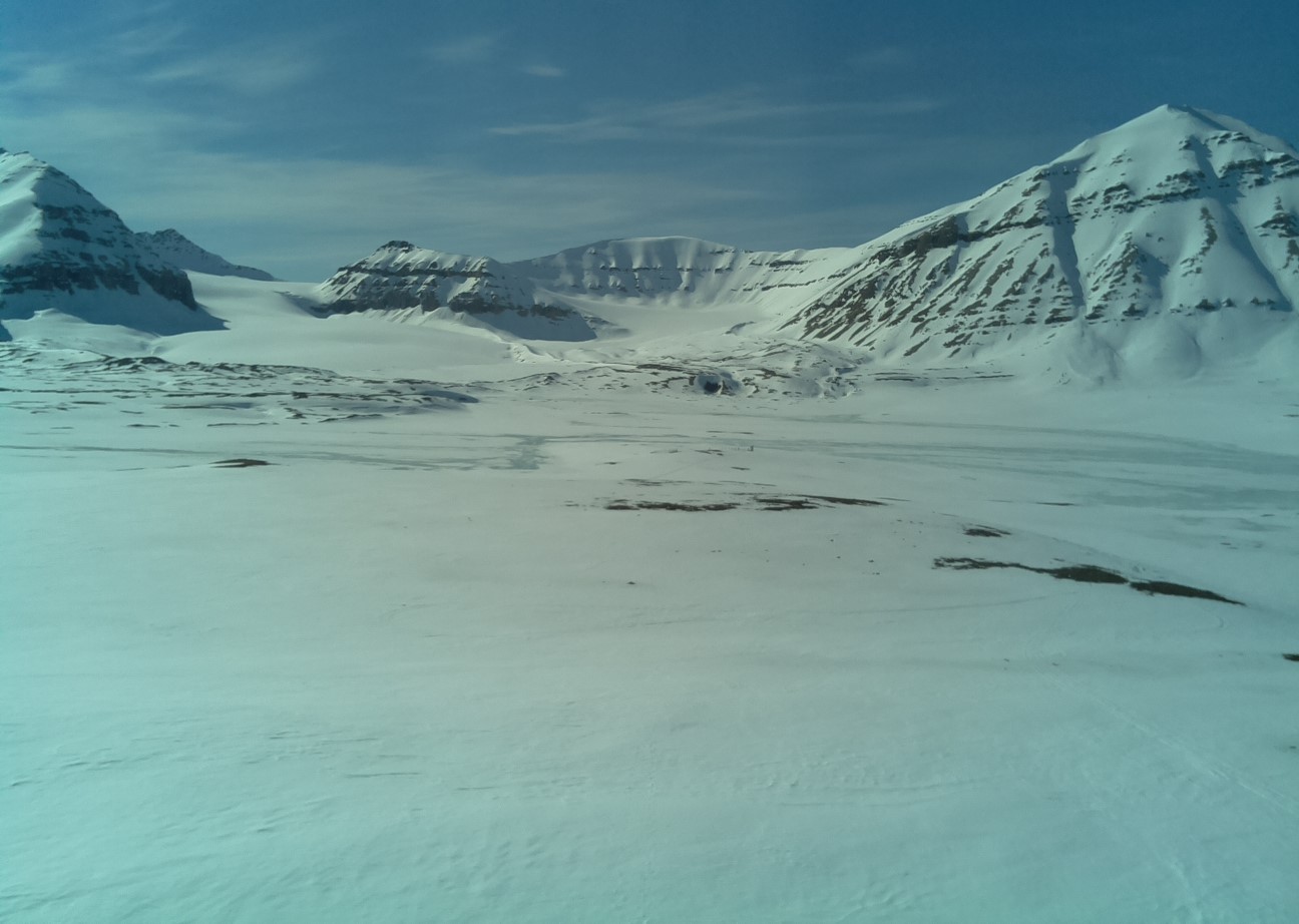
FSCA retrieval form satellite data at Hornsund.
- Status
- On going
- Maintenance and update frequency
- Annually
- Theme
-
-
Fractional snow cover
-
-
GEMET - INSPIRE themes, version 1.0
-
-
Environmental monitoring facilities
-
-
GCMD - Science Keywords
-
-
CRYOSPHERE
-
SNOW/ICE
-
-
GCMD - Locations
-
-
ARCTIC
-
SVALBARD AND JAN MAYEN
-
-
GCMD - Providers
-
-
ITALY
-
-
IADC Research Activities
-
-
Processes at surface (Soil, snow and vegetation)
-
- Use limitation
- Creative-Commons CC BY-NC-SA 4.0
- Unique resource identifier
- IADC Italian Arctic Data Center
- Association Type
- dependency
- Initiative Type
- Project
- Spatial representation type
- Grid
- Denominator
- 1
- Metadata language
- English
- Topic category
-
- Climatology, meteorology, atmosphere
- Geoscientific information
))
- Begin date
- 2015-01-01
- End date
- 2020-12-31 Now
- Unique resource identifier
- WGS84
- Distribution format
-
-
NetCDF
(
1
)
-
NetCDF
(
1
)
- OnLine resource
- Landing page ( WWW:LINK-1.0-http--link )
- OnLine resource
- IADC project ( WWW:LINK-1.0-http--link )
- OnLine resource
- OPeNDAP URL ( OPeNDAP:OPeNDAP )
- OnLine resource
- Dataset ( WWW:LINK-1.0-http--link )
- Hierarchy level
- Dataset
Domain consistency
Conformance result
- Date (Publication)
- 2010-12-08
- Explanation
-
This data set is conformant with the INSPIRE Implementing Rules for the interoperability of spatial data sets and services
- Pass
- Yes
- Statement
-
FSCA retrieval form satellite data at Hornsund.
- File identifier
- 1412ccb9-e357-4cbd-b5eb-dcf09943b083 XML
- Metadata language
- English
- Character set
- UTF8
- Hierarchy level
- Dataset
- Date stamp
- 2025-05-12T14:24:50
- Metadata standard name
-
ISO 19139
- Metadata standard version
-
1.0
Overviews
Spatial extent
Provided by