AdvanCing knowledge on the present Arctic Ocean by chemical-phySical, biogeochemical and biological obServAtioNs to preDict the futuRe chAnges (CASSANDRA)
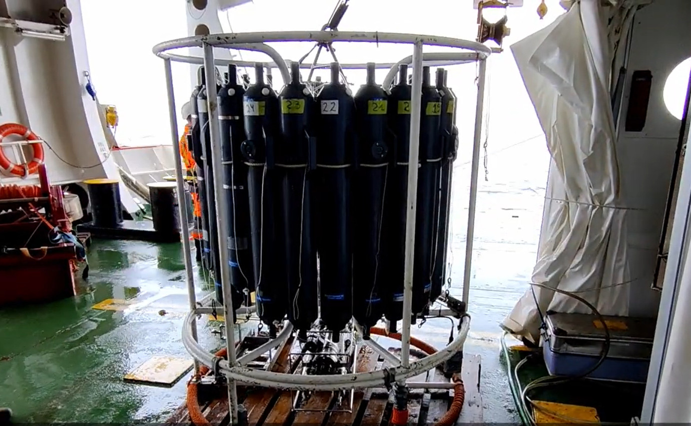
The Italian project CASSANDRA is part of the international framework of the Synoptic Arctic Survey which seeks to collect oceanographic data in the Arctic Ocean in the two-year period 2020-2021 involving the coordination of many research vessels belonging to different nations. The aim is to determine the current state and major ongoing changes in the Arctic marine system by generating an oceanographic dataset that allows for a comprehensive characterization of Arctic hydrography and circulation, carbon uptake and ocean acidification, the distribution of possible pollutants, the functioning and productivity of organisms and ecosystems.
Simple
- Date (Creation)
- 2023-06-19T00:00:00
- Identifier
- https://metadata.iadc.cnr.it/geonetwork/srv/api/records/0b0b160c-7a43-41fa-8dee-1a8d1edf53b7
- Purpose
-
The CASSANDRA project aims to quantify the current state of the physical, chemical, biological and biogeochemical systems of a 75° N subarctic historical transept crossing a cyclonic gyre of the Greenland Sea.
- Status
- Completed
- Maintenance and update frequency
- As needed
-
IADC Research Activities
-
-
Marine and oceanographic research
-
-
GEMET - INSPIRE themes, version 1.0
-
-
Environmental monitoring facilities
-
-
GCMD - Science Keywords
-
-
NITRITE
-
SALINITY
-
SEDIMENTS
-
NITRATE
-
VIRUSES
-
DISSOLVED OXYGEN
-
CHLOROPHYLL
-
-
GCMD - Instruments
-
-
CTD
-
-
GCMD - Locations
-
-
ARCTIC OCEAN
-
- Keywords
-
-
Continents, countries, sea regions of the world.
-
-
Greenland Sea
-
- Use limitation
- Creative-Commons CC BY-NC-SA 4.0
- Spatial representation type
- Text, table
- Denominator
- 1
- Metadata language
- English
- Topic category
-
- Oceans
))
- Begin date
- 2021-08-29
- End date
- 2021-09-14 Now
- Unique resource identifier
- WGS84
- Distribution format
-
-
ASCII
(
1
)
-
ASCII
(
1
)
- Hierarchy level
- Dataset
Domain consistency
Conformance result
- Date (Publication)
- 2010-12-08
- Explanation
-
This data set is conformant with the INSPIRE Implementing Rules for the interoperability of spatial data sets and services
- Pass
- Yes
- File identifier
- 0b0b160c-7a43-41fa-8dee-1a8d1edf53b7 XML
- Metadata language
- English
- Character set
- UTF8
- Date stamp
- 2025-05-12T14:24:50
- Metadata standard name
-
ISO 19139
- Metadata standard version
-
1.0
Overviews

Spatial extent
))
Provided by
